Distance to Sumter County, Georgia

Calculating Your Route
Just a moment while we process your request...
Location Information
-
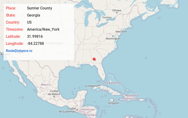
Full AddressSumter County, GA
-
Coordinates31.9981596, -84.2278796
-
LocationGeorgia , US
-
TimezoneAmerica/New_York
-
Current Local Time10:12:38 PM America/New_YorkThursday, June 12, 2025
-
Page Views0
About Sumter County
Sumter County is a county located in the west-central portion of the U.S. state of Georgia. As of the 2020 census, its population was 29,616. The county seat is Americus. The county was created on December 26, 1831.
Sumter County is part of the Americus micropolitan statistical area.

Nearby Places
Found 10 places within 50 miles

Huntington
5.1 mi
8.2 km
Huntington, GA 31709
Get directions

Americus
5.1 mi
8.2 km
Americus, GA
Get directions
New Point
5.9 mi
9.5 km
New Point, GA 31780
Get directions
Smithville
6.9 mi
11.1 km
Smithville, GA 31787
Get directions

Leslie
8.8 mi
14.2 km
Leslie, GA
Get directions
New Era
9.7 mi
15.6 km
New Era, GA 31709
Get directions
Eagle Pond
9.7 mi
15.6 km
Eagle Pond, GA 31787
Get directions

Plains
10.0 mi
16.1 km
Plains, GA 31780
Get directions

De Soto
10.2 mi
16.4 km
De Soto, GA 31743
Get directions
Bottsford
12.4 mi
20.0 km
Bottsford, GA 31780
Get directions
Location Links
Local Weather
Weather Information
Coming soon!
Location Map
Static map view of Sumter County, Georgia
Browse Places by Distance
Places within specific distances from Sumter County
Short Distances
Long Distances
Click any distance to see all places within that range from Sumter County. Distances shown in miles (1 mile ≈ 1.61 kilometers).