Distance to Sunderland, Maryland

Calculating Your Route
Just a moment while we process your request...
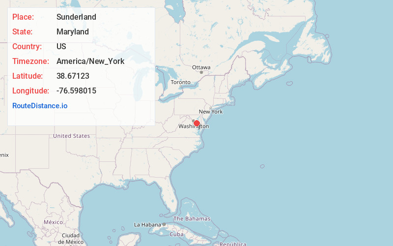
Location Information
-
Full AddressSunderland, MD 20689
-
Coordinates38.6712298, -76.5980146
-
LocationSunderland , Maryland , US
-
TimezoneAmerica/New_York
-
Current Local Time1:44:03 AM America/New_YorkSaturday, May 31, 2025
-
Page Views0
About Sunderland
Sunderland is an unincorporated community located at the crossroads of Maryland routes 2, 4, and 262, Dalrymple and Pushaw Station roads in Calvert County, Maryland, United States, approximately five miles south of Dunkirk and 10 miles north of Prince Frederick.
Nearby Places
Found 10 places within 50 miles

Mt Harmony
1.9 mi
3.1 km
Mt Harmony, MD 20736
Get directions
Owings
3.2 mi
5.1 km
Owings, MD 20736
Get directions

Huntingtown
3.9 mi
6.3 km
Huntingtown, MD 20639
Get directions

North Beach
4.4 mi
7.1 km
North Beach, MD
Get directions

Friendship
4.6 mi
7.4 km
Friendship, MD
Get directions
Dunkirk
4.9 mi
7.9 km
Dunkirk, MD
Get directions
Chaney
5.9 mi
9.5 km
Chaney, MD 20754
Get directions
Wilson
6.2 mi
10.0 km
Wilson, MD 20639
Get directions
Leitch
6.8 mi
10.9 km
Leitch, MD 20779
Get directions
Tracys Landing
7.5 mi
12.1 km
Tracys Landing, MD 20779
Get directions
Location Links
Local Weather
Weather Information
Coming soon!
Location Map
Static map view of Sunderland, Maryland
Browse Places by Distance
Places within specific distances from Sunderland
Short Distances
Long Distances
Click any distance to see all places within that range from Sunderland. Distances shown in miles (1 mile ≈ 1.61 kilometers).