Distance to Sunfield Township, Michigan

Calculating Your Route
Just a moment while we process your request...
Location Information
-
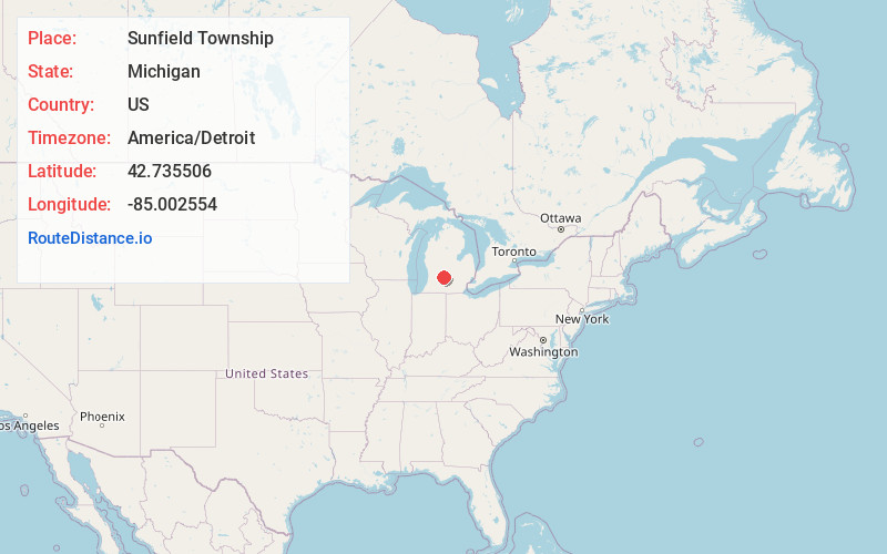
Full AddressSunfield Township, MI
-
Coordinates42.7355058, -85.0025539
-
LocationSunfield Township , Michigan , US
-
TimezoneAmerica/Detroit
-
Current Local Time8:49:06 AM America/DetroitSaturday, May 31, 2025
-
Page Views0
About Sunfield Township
Sunfield Township is a civil township of Eaton County in the U.S. state of Michigan. The population was 2,050 at the 2020 census, up from 1,997 at the 2010 census.
Nearby Places
Found 10 places within 50 miles

Sunfield
1.9 mi
3.1 km
Sunfield, MI 48890
Get directions

Shaytown
2.5 mi
4.0 km
Shaytown, Sunfield Township, MI 48861
Get directions
Little Venice
3.9 mi
6.3 km
Little Venice, Roxand Township, MI 48861
Get directions
Woodbury
4.1 mi
6.6 km
Woodbury, MI 48849
Get directions
Sebewa Township
5.4 mi
8.7 km
Sebewa Township, MI
Get directions
Hoytville
5.4 mi
8.7 km
Hoytville, Roxand Township, MI 48861
Get directions
Mulliken
5.7 mi
9.2 km
Mulliken, MI 48861
Get directions
Roxand Township
6.4 mi
10.3 km
Roxand Township, MI
Get directions

Woodland
6.7 mi
10.8 km
Woodland, MI 48897
Get directions

Vermontville
7.4 mi
11.9 km
Vermontville, MI 49096
Get directions
Location Links
Local Weather
Weather Information
Coming soon!
Location Map
Static map view of Sunfield Township, Michigan
Browse Places by Distance
Places within specific distances from Sunfield Township
Short Distances
Long Distances
Click any distance to see all places within that range from Sunfield Township. Distances shown in miles (1 mile ≈ 1.61 kilometers).