Distance to Sunny Side, Maryland

Calculating Your Route
Just a moment while we process your request...
Location Information
-
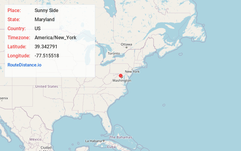
Full AddressSunny Side, MD 21703
-
Coordinates39.3427914, -77.5155183
-
LocationSunny Side , Maryland , US
-
TimezoneAmerica/New_York
-
Current Local Time1:00:08 AM America/New_YorkMonday, June 9, 2025
-
Page Views0
About Sunny Side
Sunny Side is an unincorporated community in southwestern Frederick County, Maryland, United States. The village is located between U.S. Route 15 and U.S. Route 340, south of Jefferson and northwest of Adamstown. The Sunny Side United Methodist Church is located in the community.
Nearby Places
Found 10 places within 50 miles

Mountville
0.1 mi
0.2 km
Mountville, MD 21703
Get directions

Jefferson
1.6 mi
2.6 km
Jefferson, MD 21755
Get directions
Lewis Mill Branch
3.0 mi
4.8 km
Lewis Mill Branch, Maryland 21755
Get directions

Adamstown
3.0 mi
4.8 km
Adamstown, MD 21710
Get directions
Doubs
3.1 mi
5.0 km
Doubs, MD 21710
Get directions
Lander
3.3 mi
5.3 km
Lander, MD 21755
Get directions
Feagaville
3.7 mi
6.0 km
Feagaville, MD 21703
Get directions
Buckeystown Station
3.7 mi
6.0 km
Buckeystown Station, MD 21710
Get directions
Olive
3.7 mi
6.0 km
Olive, MD 21758
Get directions
Keller
3.9 mi
6.3 km
Keller, MD 21703
Get directions
Location Links
Local Weather
Weather Information
Coming soon!
Location Map
Static map view of Sunny Side, Maryland
Browse Places by Distance
Places within specific distances from Sunny Side
Short Distances
Long Distances
Click any distance to see all places within that range from Sunny Side. Distances shown in miles (1 mile ≈ 1.61 kilometers).