Distance to Sunnyside, Nevada

Calculating Your Route
Just a moment while we process your request...
Location Information
-
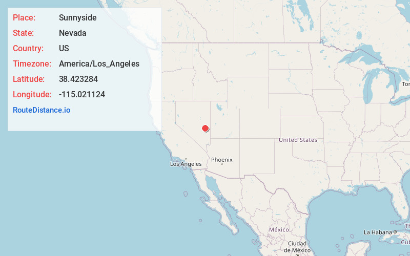
Full AddressSunnyside, NV 89317
-
Coordinates38.4232844, -115.021124
-
LocationNevada , US
-
TimezoneAmerica/Los_Angeles
-
Current Local Time8:36:22 AM America/Los_AngelesFriday, June 20, 2025
-
Page Views0
About Sunnyside
Sunnyside is a small unincorporated community in the White River Valley of eastern Nevada, near the southern terminus of the Egan Range. The site is located on State Route 318 approximately 31 miles by road south of Lund in White Pine County, the closest town, and 63 miles by road north of Hiko in Lincoln County.
Nearby Places
Found 6 places within 50 miles

Lund
30.0 mi
48.3 km
Lund, NV 89317
Get directions

Preston
33.8 mi
54.4 km
Preston, NV
Get directions

Lockes
41.8 mi
67.3 km
Lockes, NV 89049
Get directions
Mendha
42.4 mi
68.2 km
Mendha, NV 89043
Get directions

Big Trees
43.8 mi
70.5 km
Big Trees, NV 89043
Get directions

Pioche
46.0 mi
74.0 km
Pioche, NV 89043
Get directions
Location Links
Local Weather
Weather Information
Coming soon!
Location Map
Static map view of Sunnyside, Nevada
Browse Places by Distance
Places within specific distances from Sunnyside
Short Distances
Long Distances
Click any distance to see all places within that range from Sunnyside. Distances shown in miles (1 mile ≈ 1.61 kilometers).