Distance to Supai, Arizona

Calculating Your Route
Just a moment while we process your request...
Location Information
-
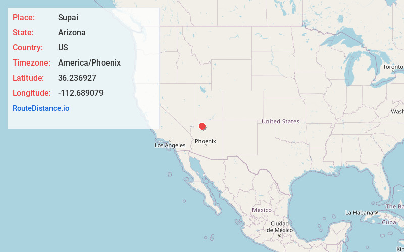
Full AddressSupai, AZ 86435
-
Coordinates36.2369265, -112.6890791
-
LocationSupai , Arizona , US
-
TimezoneAmerica/Phoenix
-
Current Local Time1:28:35 AM America/PhoenixFriday, June 20, 2025
-
Page Views0
About Supai
Supai is a census-designated place in Coconino County, Arizona, United States, within the Grand Canyon.
As of the 2010 census, the CDP had a population of 208. The capital of the Havasupai Indian Reservation, Supai is the only place in the United States where mail is still carried in and out by mules.


Nearby Places


Location Links
Local Weather
Weather Information
Coming soon!
Location Map
Static map view of Supai, Arizona
Browse Places by Distance
Places within specific distances from Supai
Short Distances
Long Distances
Click any distance to see all places within that range from Supai. Distances shown in miles (1 mile ≈ 1.61 kilometers).