Distance to Surf, California

Calculating Your Route
Just a moment while we process your request...
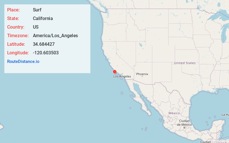
Location Information
-
Full AddressSurf, CA
-
Coordinates34.6844268, -120.6035029
-
LocationCalifornia , US
-
TimezoneAmerica/Los_Angeles
-
Current Local Time2:29:09 AM America/Los_AngelesThursday, May 22, 2025
-
Page Views0
About Surf
Surf is an unincorporated area of Santa Barbara County, California, located along the Pacific coast within a publicly accessible area of Vandenberg Space Force Base west of the city of Lompoc. The site originally was established as a railroad town, with its growth peaking after Vandenberg was established in 1941.


Nearby Places
Found 10 places within 50 miles

Baroda
0.6 mi
1.0 km
Baroda, CA 93436
Get directions
Tangair
4.9 mi
7.9 km
Tangair, CA
Get directions
Arguello
7.7 mi
12.4 km
Arguello, CA
Get directions
Narlon
8.7 mi
14.0 km
Narlon, CA
Get directions

Lompoc
8.8 mi
14.2 km
Lompoc, CA
Get directions

Mission Hills
9.5 mi
15.3 km
Mission Hills, CA 93436
Get directions
Antonio
10.6 mi
17.1 km
Antonio, CA 93429
Get directions

Casmalia
11.3 mi
18.2 km
Casmalia, CA
Get directions
Shuman
13.4 mi
21.6 km
Shuman, CA 93455
Get directions

Jalama
14.3 mi
23.0 km
Jalama, CA 93436
Get directions
Location Links
Local Weather
Weather Information
Coming soon!
Location Map
Static map view of Surf, California
Browse Places by Distance
Places within specific distances from Surf
Short Distances
Long Distances
Click any distance to see all places within that range from Surf. Distances shown in miles (1 mile ≈ 1.61 kilometers).