Distance to Surrey, England

Calculating Your Route
Just a moment while we process your request...
Location Information
-
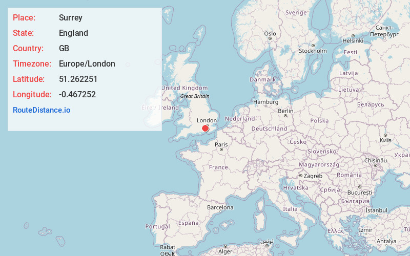
Full AddressSurrey, UK
-
Coordinates51.2622513, -0.4672517
-
LocationEngland , GB
-
TimezoneEurope/London
-
Current Local Time9:39:52 AM Europe/LondonMonday, June 30, 2025
-
Page Views0
About Surrey
Surrey is a ceremonial county in South East England. It is bordered by Greater London to the northeast, Kent to the east, East and West Sussex to the south, and Hampshire and Berkshire to the west. The largest settlement is Woking.
The county has an area of 1,663 km² and a population of 1,214,540.


Nearby Places
Found 9 places within 50 miles

Wimbledon
15.2 mi
24.5 km
Wimbledon, London, UK
Get directions

Windsor Castle
16.4 mi
26.4 km
Windsor Castle, Windsor SL4 1NJ, United Kingdom
Get directions

Victoria Coach Station
21.0 mi
33.8 km
Victoria Coach Station, London SW1W 9RH, UK
Get directions

Buckingham Palace
21.7 mi
34.9 km
Buckingham Palace, London SW1A 1AA, United Kingdom
Get directions

London
22.4 mi
36.0 km
London, UK
Get directions

Leicester Square
22.5 mi
36.2 km
Leicester Square, London WC2H 7DE, UK
Get directions

Waterloo Station
22.6 mi
36.4 km
Waterloo Station, London SE1 8SR, UK
Get directions
TN5
38.3 mi
61.6 km
Wadhurst TN5, UK
Get directions

Oxford
48.0 mi
77.2 km
Oxford, UK
Get directions
Location Links
Local Weather
Weather Information
Coming soon!
Location Map
Static map view of Surrey, England
Browse Places by Distance
Places within specific distances from Surrey
Short Distances
Long Distances
Click any distance to see all places within that range from Surrey. Distances shown in miles (1 mile ≈ 1.61 kilometers).