Distance to Sutherland, Tennessee

Calculating Your Route
Just a moment while we process your request...
Location Information
-
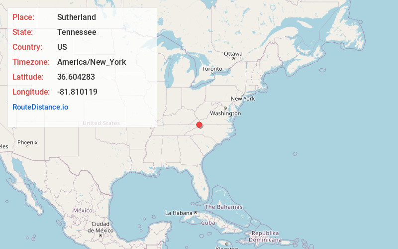
Full AddressSutherland, TN 37688
-
Coordinates36.6042829, -81.8101192
-
LocationTennessee , US
-
TimezoneAmerica/New_York
-
Current Local Time12:18:23 PM America/New_YorkSaturday, June 14, 2025
-
Page Views0
About Sutherland
Sutherland is an unincorporated community in Johnson County, Tennessee, United States. Sutherland is located .6 miles south of the border with Virginia on Tennessee State Route 133.
Nearby Places
Found 10 places within 50 miles

Damascus
2.5 mi
4.0 km
Damascus, VA 24236
Get directions

Laureldale
3.0 mi
4.8 km
Laureldale, VA 24236
Get directions
Drowning Ford
3.7 mi
6.0 km
Drowning Ford, VA 24236
Get directions
Osceola
5.6 mi
9.0 km
Osceola, VA 24211
Get directions
Crandull
6.2 mi
10.0 km
Crandull, TN 37688
Get directions
Neff
7.9 mi
12.7 km
Neff, VA 24361
Get directions
Grayson
8.4 mi
13.5 km
Grayson, NC 28615
Get directions
Watauga
8.5 mi
13.7 km
Watauga, VA 24211
Get directions
Twin Oaks
8.9 mi
14.3 km
Twin Oaks, TN 37620
Get directions

Mountain City
9.0 mi
14.5 km
Mountain City, TN 37683
Get directions
Location Links
Local Weather
Weather Information
Coming soon!
Location Map
Static map view of Sutherland, Tennessee
Browse Places by Distance
Places within specific distances from Sutherland
Short Distances
Long Distances
Click any distance to see all places within that range from Sutherland. Distances shown in miles (1 mile ≈ 1.61 kilometers).