Distance to Sutherland Springs, Texas

Calculating Your Route
Just a moment while we process your request...
Location Information
-
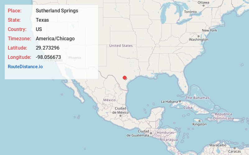
Full AddressSutherland Springs, TX 78161
-
Coordinates29.2732957, -98.0566728
-
LocationSutherland Springs , Texas , US
-
TimezoneAmerica/Chicago
-
Current Local Time2:29:54 PM America/ChicagoFriday, June 20, 2025
-
Page Views0
About Sutherland Springs
Sutherland Springs is an unincorporated community located on the old Spanish land grant of Manuel Tarin in northern Wilson County, Texas, United States. It is located on U.S. Highway 87 at the intersection of Farm to Market Road 539.
Nearby Places
Found 10 places within 50 miles

Stockdale
6.3 mi
10.1 km
Stockdale, TX 78160
Get directions

La Vernia
6.7 mi
10.8 km
La Vernia, TX 78121
Get directions

Floresville
11.4 mi
18.3 km
Floresville, TX 78114
Get directions

St Hedwig
13.4 mi
21.6 km
St Hedwig, TX
Get directions

New Berlin
13.7 mi
22.0 km
New Berlin, TX
Get directions
Poth
14.2 mi
22.9 km
Poth, TX
Get directions
Zuehl
16.2 mi
26.1 km
Zuehl, TX
Get directions

Elmendorf
16.7 mi
26.9 km
Elmendorf, TX
Get directions

Nixon
17.6 mi
28.3 km
Nixon, TX 78140
Get directions

China Grove
19.3 mi
31.1 km
China Grove, TX
Get directions
Location Links
Local Weather
Weather Information
Coming soon!
Location Map
Static map view of Sutherland Springs, Texas
Browse Places by Distance
Places within specific distances from Sutherland Springs
Short Distances
Long Distances
Click any distance to see all places within that range from Sutherland Springs. Distances shown in miles (1 mile ≈ 1.61 kilometers).