Distance to Sutter, California

Calculating Your Route
Just a moment while we process your request...
Location Information
-
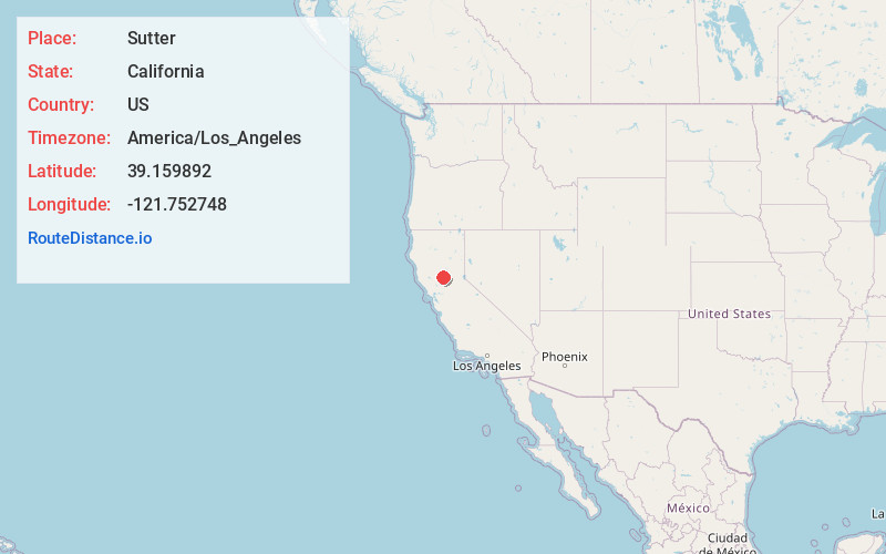
Full AddressSutter, CA 95982
-
Coordinates39.1598915, -121.7527482
-
LocationSutter , California , US
-
TimezoneAmerica/Los_Angeles
-
Current Local Time7:20:28 AM America/Los_AngelesSaturday, June 21, 2025
-
Page Views0
About Sutter
Sutter, formerly South Butte and Sutter City, is a census-designated place in Sutter County, California, United States. It is part of the Yuba City Metropolitan Statistical Area within the Greater Sacramento CSA. The population as of the 2010 census was 2,904, up from 2,885 at the 2000 census.


Nearby Places
Found 10 places within 50 miles

Yuba City
7.4 mi
11.9 km
Yuba City, CA
Get directions

Marysville
8.7 mi
14.0 km
Marysville, CA
Get directions

Live Oak
9.4 mi
15.1 km
Live Oak, CA 95953
Get directions

Linda
11.0 mi
17.7 km
Linda, CA
Get directions

Olivehurst
11.6 mi
18.7 km
Olivehurst, CA
Get directions

Colusa
14.3 mi
23.0 km
Colusa, CA 95932
Get directions

Gridley
14.4 mi
23.2 km
Gridley, CA 95948
Get directions

Plumas Lake
15.0 mi
24.1 km
Plumas Lake, CA
Get directions

Arbuckle
19.1 mi
30.7 km
Arbuckle, CA 95912
Get directions

Wheatland
20.5 mi
33.0 km
Wheatland, CA
Get directions
Location Links
Local Weather
Weather Information
Coming soon!
Location Map
Static map view of Sutter, California
Browse Places by Distance
Places within specific distances from Sutter
Short Distances
Long Distances
Click any distance to see all places within that range from Sutter. Distances shown in miles (1 mile ≈ 1.61 kilometers).