Distance to Sycamore, California

Calculating Your Route
Just a moment while we process your request...
Location Information
-
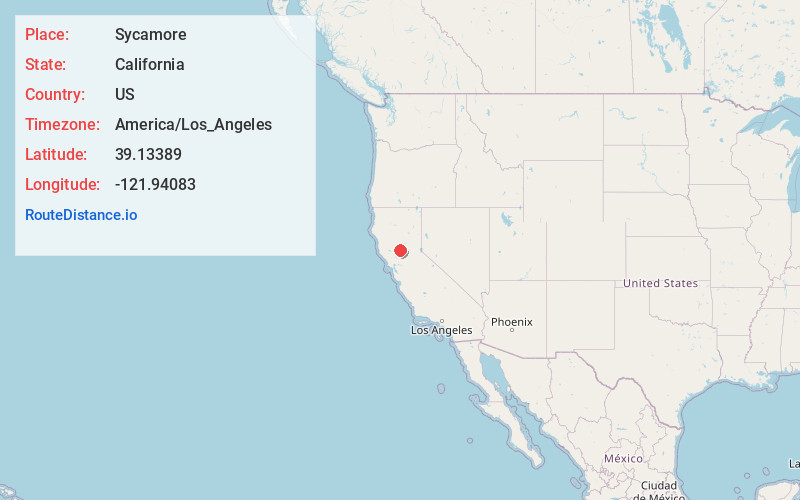
Full AddressSycamore, CA 95957
-
Coordinates39.13389, -121.94083
-
LocationSycamore , California , US
-
TimezoneAmerica/Los_Angeles
-
Current Local Time10:29:18 PM America/Los_AngelesFriday, May 23, 2025
-
Page Views0
About Sycamore
Sycamore is a former settlement in Colusa County, California. It lies near the mouth of Sycamore Slough, at an elevation of 49 feet. Sycamore was a farming community in the late nineteenth century and once had a mill, church, school, and a nearby station on the Northern Electric railway branch to Colusa.
Nearby Places
Found 10 places within 50 miles

Meridian
1.5 mi
2.4 km
Meridian, CA 95957
Get directions

Lira
4.0 mi
6.4 km
Lira, CA 95957
Get directions
West Butte
4.7 mi
7.6 km
West Butte, CA 95953
Get directions

Grimes
4.8 mi
7.7 km
Grimes, CA
Get directions
Tarke
5.0 mi
8.0 km
Tarke, CA 95957
Get directions

Colusa
6.7 mi
10.8 km
Colusa, CA 95932
Get directions
Graino
6.9 mi
11.1 km
Graino, CA 95912
Get directions
Joesphine
8.0 mi
12.9 km
Joesphine, CA 95957
Get directions
Progress
9.0 mi
14.5 km
Progress, CA 95957
Get directions
College City
9.1 mi
14.6 km
College City, CA 95912
Get directions
Location Links
Local Weather
Weather Information
Coming soon!
Location Map
Static map view of Sycamore, California
Browse Places by Distance
Places within specific distances from Sycamore
Short Distances
Long Distances
Click any distance to see all places within that range from Sycamore. Distances shown in miles (1 mile ≈ 1.61 kilometers).