Distance to Syracuse, Utah

Calculating Your Route
Just a moment while we process your request...
Location Information
-
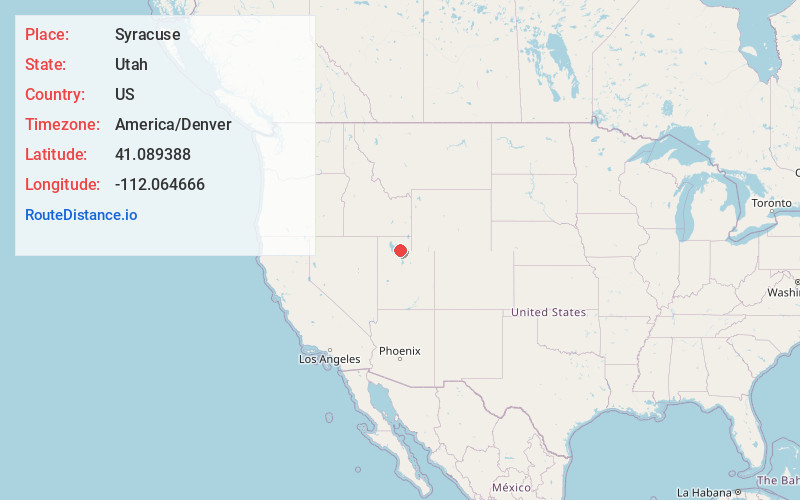
Full AddressSyracuse, UT
-
Coordinates41.0893878, -112.0646657
-
LocationSyracuse , Utah , US
-
TimezoneAmerica/Denver
-
Current Local Time10:33:33 AM America/DenverThursday, June 19, 2025
-
Website
-
Page Views0
About Syracuse
Syracuse is a city in Davis County, Utah, United States. It is situated between the Great Salt Lake and Interstate 15, about 30 miles north of Salt Lake City. It is part of the Ogden–Clearfield Metropolitan Statistical Area. The city has seen rapid growth and development since the 1990s.


Nearby Places
Found 10 places within 50 miles

Layton
5.3 mi
8.5 km
Layton, UT
Get directions

Roy
5.4 mi
8.7 km
Roy, UT
Get directions

Ogden
10.2 mi
16.4 km
Ogden, UT
Get directions

Bountiful
16.8 mi
27.0 km
Bountiful, UT 84010
Get directions

Salt Lake City
24.5 mi
39.4 km
Salt Lake City, UT
Get directions

Millcreek
29.7 mi
47.8 km
Millcreek, UT
Get directions

Kearns
29.9 mi
48.1 km
Kearns, UT 84118
Get directions

Murray
30.6 mi
49.2 km
Murray, UT
Get directions

Taylorsville
30.7 mi
49.4 km
Taylorsville, UT
Get directions

West Jordan
33.8 mi
54.4 km
West Jordan, UT
Get directions
Location Links
Local Weather
Weather Information
Coming soon!
Location Map
Static map view of Syracuse, Utah
Browse Places by Distance
Places within specific distances from Syracuse
Short Distances
Long Distances
Click any distance to see all places within that range from Syracuse. Distances shown in miles (1 mile ≈ 1.61 kilometers).