Distance to Tabb, Virginia

Calculating Your Route
Just a moment while we process your request...
Location Information
-
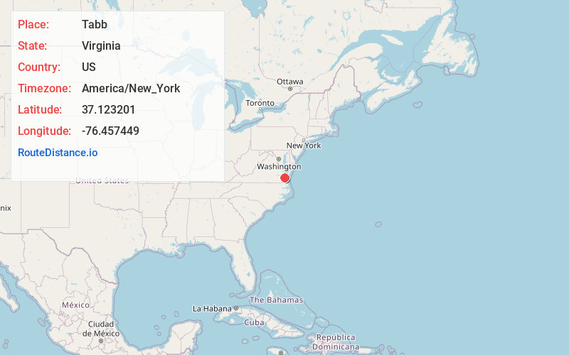
Full AddressTabb, VA 23693
-
Coordinates37.1232011, -76.4574489
-
LocationTabb , Virginia , US
-
TimezoneAmerica/New_York
-
Current Local Time6:58:09 PM America/New_YorkTuesday, June 17, 2025
-
Page Views0
About Tabb
Tabb is an unincorporated community in York County, Virginia, United States, on the Virginia Peninsula. Major roads include U.S. Route 17 and State Route 134.
Nearby Places
Found 10 places within 50 miles

Mill Farms
0.7 mi
1.1 km
Mill Farms, VA 23693
Get directions
Piney Point Estates
2.1 mi
3.4 km
Piney Point Estates, VA 23692
Get directions
Bethel Manor
2.2 mi
3.5 km
Bethel Manor, VA 23665
Get directions
Moores
2.6 mi
4.2 km
Moores, VA 23662
Get directions

Newport News
2.6 mi
4.2 km
Newport News, VA
Get directions
Acree Acres
3.7 mi
6.0 km
Acree Acres, VA 23692
Get directions
Evergreen Shores
5.0 mi
8.0 km
Evergreen Shores, VA 23696
Get directions
Hornsbyville
5.1 mi
8.2 km
Hornsbyville, VA 23692
Get directions
Edgehill
5.3 mi
8.5 km
Edgehill, VA 23692
Get directions
Battle Park
5.5 mi
8.9 km
Battle Park, VA 23692
Get directions
Location Links
Local Weather
Weather Information
Coming soon!
Location Map
Static map view of Tabb, Virginia
Browse Places by Distance
Places within specific distances from Tabb
Short Distances
Long Distances
Click any distance to see all places within that range from Tabb. Distances shown in miles (1 mile ≈ 1.61 kilometers).