Distance to Tabertown, Indiana

Calculating Your Route
Just a moment while we process your request...
Location Information
-
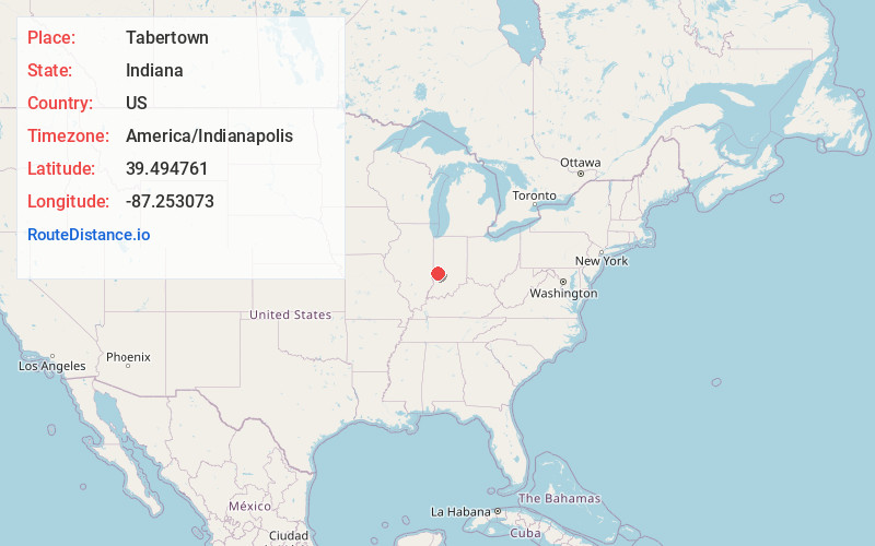
Full AddressTabertown, IN 47803
-
Coordinates39.4947605, -87.2530731
-
LocationTabertown , Indiana , US
-
TimezoneAmerica/Indianapolis
-
Page Views0
About Tabertown
Tabertown is an unincorporated community in Lost Creek Township, Vigo County, in the U.S. state of Indiana.
Now within the boundaries of the town of Seelyville, it is also part of the Terre Haute metropolitan area.
Nearby Places
Found 10 places within 50 miles

Seelyville
0.8 mi
1.3 km
Seelyville, IN 47803
Get directions

Cloverland
1.2 mi
1.9 km
Cloverland, IN 47834
Get directions

Lost Creek Township
2.0 mi
3.2 km
Lost Creek Township, IN
Get directions
Cherryvale
2.3 mi
3.7 km
Cherryvale, Lost Creek Township, IN 47834
Get directions
East Glenn
2.3 mi
3.7 km
East Glenn, Lost Creek Township, IN 47803
Get directions
Gospel Grove
2.5 mi
4.0 km
Gospel Grove, Lost Creek Township, IN 47803
Get directions
Glen Ayre
2.7 mi
4.3 km
Glen Ayre, Lost Creek Township, IN 47803
Get directions
Ehrmandale
2.9 mi
4.7 km
Ehrmandale, IN 47834
Get directions
Twin Beach
3.0 mi
4.8 km
Twin Beach, Posey Township, IN 47834
Get directions
Swalls
3.1 mi
5.0 km
Swalls, Lost Creek Township, IN 47803
Get directions
Location Links
Local Weather
Weather Information
Coming soon!
Location Map
Static map view of Tabertown, Indiana
Browse Places by Distance
Places within specific distances from Tabertown
Short Distances
Long Distances
Click any distance to see all places within that range from Tabertown. Distances shown in miles (1 mile ≈ 1.61 kilometers).