Distance to Taberville, Missouri

Calculating Your Route
Just a moment while we process your request...
Location Information
-
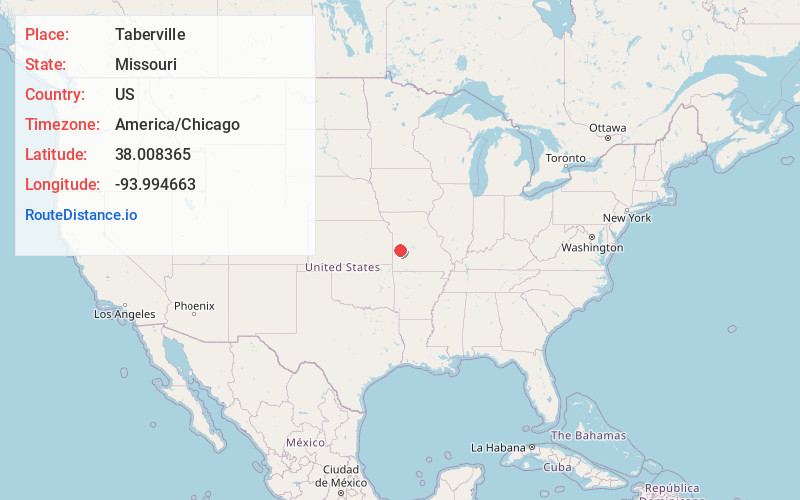
Full AddressTaberville, MO 64780
-
Coordinates38.0083645, -93.994663
-
LocationTaberville , Missouri , US
-
TimezoneAmerica/Chicago
-
Current Local Time10:06:46 PM America/ChicagoThursday, June 19, 2025
-
Page Views0
About Taberville
Taberville is an unincorporated community in southwestern St. Clair County, Missouri, United States. It is located approximately sixteen miles west of Osceola, situated on the north side of the Osage River. Taberville formerly had a post office, but it has closed and mail is now delivered from nearby Rockville.
Nearby Places
Found 10 places within 50 miles

Rockville
6.4 mi
10.3 km
Rockville, MO 64780
Get directions
Schell City
6.6 mi
10.6 km
Schell City, MO 64783
Get directions

El Dorado Springs
9.2 mi
14.8 km
El Dorado Springs, MO 64744
Get directions
Harwood
9.4 mi
15.1 km
Harwood, MO 64750
Get directions

Roscoe
10.2 mi
16.4 km
Roscoe, MO 64776
Get directions
Lindale
10.4 mi
16.7 km
Lindale, Appleton Township, MO 64724
Get directions

Appleton City
12.7 mi
20.4 km
Appleton City, MO 64724
Get directions

Walker
15.0 mi
24.1 km
Walker, MO 64790
Get directions

Osceola
16.1 mi
25.9 km
Osceola, MO 64776
Get directions
Lowry City
17.2 mi
27.7 km
Lowry City, MO 64763
Get directions
Location Links
Local Weather
Weather Information
Coming soon!
Location Map
Static map view of Taberville, Missouri
Browse Places by Distance
Places within specific distances from Taberville
Short Distances
Long Distances
Click any distance to see all places within that range from Taberville. Distances shown in miles (1 mile ≈ 1.61 kilometers).