Distance to Table Rock, Pennsylvania

Calculating Your Route
Just a moment while we process your request...
Location Information
-
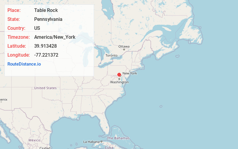
Full AddressTable Rock, PA
-
Coordinates39.9134277, -77.2213723
-
LocationTable Rock , Pennsylvania , US
-
TimezoneAmerica/New_York
-
Current Local Time3:28:45 PM America/New_YorkThursday, May 22, 2025
-
Page Views0
About Table Rock
Table Rock is a populated place and census-designated place north of Gettysburg, Pennsylvania, United States, in Adams County, that was the site of an 1885 Gettysburg and Harrisburg Railroad station. As of the 2020 census the population was 133.
Nearby Places
Found 10 places within 50 miles

Biglerville
1.8 mi
2.9 km
Biglerville, PA 17307
Get directions

Straban Township
3.8 mi
6.1 km
Straban Township, PA
Get directions

Hunterstown
3.9 mi
6.3 km
Hunterstown, PA
Get directions
Arendtsville
4.1 mi
6.6 km
Arendtsville, PA
Get directions
Aspers
4.4 mi
7.1 km
Aspers, PA
Get directions
Heidlersburg
4.7 mi
7.6 km
Heidlersburg, PA
Get directions

Bendersville
5.0 mi
8.0 km
Bendersville, PA
Get directions

Gettysburg
5.7 mi
9.2 km
Gettysburg, PA 17325
Get directions
Mcknightstown
6.3 mi
10.1 km
Mcknightstown, PA
Get directions
Idaville
7.1 mi
11.4 km
Idaville, PA
Get directions
Location Links
Local Weather
Weather Information
Coming soon!
Location Map
Static map view of Table Rock, Pennsylvania
Browse Places by Distance
Places within specific distances from Table Rock
Short Distances
Long Distances
Click any distance to see all places within that range from Table Rock. Distances shown in miles (1 mile ≈ 1.61 kilometers).