Distance to Table Rock, Wyoming

Calculating Your Route
Just a moment while we process your request...
Location Information
-
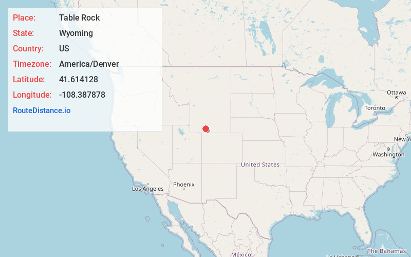
Full AddressTable Rock, WY 82901
-
Coordinates41.6141279, -108.3878781
-
LocationTable Rock , Wyoming , US
-
TimezoneAmerica/Denver
-
Current Local Time7:18:09 PM America/DenverWednesday, June 18, 2025
-
Page Views0
About Table Rock
Table Rock is a ghost town in Sweetwater County, Wyoming, United States. The former town is part of a census-designated place. In the 2000 census, it had a population of 82, but the 2010 census reported a population of 0.


Nearby Places
Found 7 places within 50 miles

Point of Rocks
21.0 mi
33.8 km
Point of Rocks, WY
Get directions

Wamsutter
21.5 mi
34.6 km
Wamsutter, WY 82336
Get directions

Superior
31.7 mi
51.0 km
Superior, WY
Get directions

Reliance
42.0 mi
67.6 km
Reliance, WY 82901
Get directions

Rock Springs
42.2 mi
67.9 km
Rock Springs, WY 82901
Get directions
Clearview Acres
46.0 mi
74.0 km
Clearview Acres, WY 82901
Get directions

Purple Sage
48.6 mi
78.2 km
Purple Sage, WY 82901
Get directions
Location Links
Local Weather
Weather Information
Coming soon!
Location Map
Static map view of Table Rock, Wyoming
Browse Places by Distance
Places within specific distances from Table Rock
Short Distances
Long Distances
Click any distance to see all places within that range from Table Rock. Distances shown in miles (1 mile ≈ 1.61 kilometers).