Distance to Taft, Oklahoma

Calculating Your Route
Just a moment while we process your request...
Location Information
-
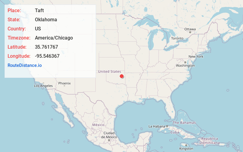
Full AddressTaft, OK
-
Coordinates35.7617667, -95.5463665
-
LocationTaft , Oklahoma , US
-
TimezoneAmerica/Chicago
-
Current Local Time6:23:39 PM America/ChicagoFriday, June 20, 2025
-
Page Views0
About Taft
Taft is a town in Muskogee County, Oklahoma, United States. The population was 174 as of the 2020 Census. The locale began as an all-black town on land allotted to Creek Freedmen. It is named for President William Howard Taft.


Nearby Places
Found 10 places within 50 miles

Porter
7.7 mi
12.4 km
Porter, OK 74454
Get directions

Tullahassee
7.9 mi
12.7 km
Tullahassee, OK 74454
Get directions

Haskell
8.2 mi
13.2 km
Haskell, OK 74436
Get directions

Redbird
8.9 mi
14.3 km
Redbird, OK 74458
Get directions

Boynton
9.9 mi
15.9 km
Boynton, OK
Get directions

Muskogee
10.0 mi
16.1 km
Muskogee, OK
Get directions

Wainwright
10.4 mi
16.7 km
Wainwright, OK 74450
Get directions

Oktaha
13.4 mi
21.6 km
Oktaha, OK 74450
Get directions

Okay
14.2 mi
22.9 km
Okay, OK
Get directions

Coweta
14.4 mi
23.2 km
Coweta, OK
Get directions
Location Links
Local Weather
Weather Information
Coming soon!
Location Map
Static map view of Taft, Oklahoma
Browse Places by Distance
Places within specific distances from Taft
Short Distances
Long Distances
Click any distance to see all places within that range from Taft. Distances shown in miles (1 mile ≈ 1.61 kilometers).