Distance to Taft, Missouri

Calculating Your Route
Just a moment while we process your request...
Location Information
-
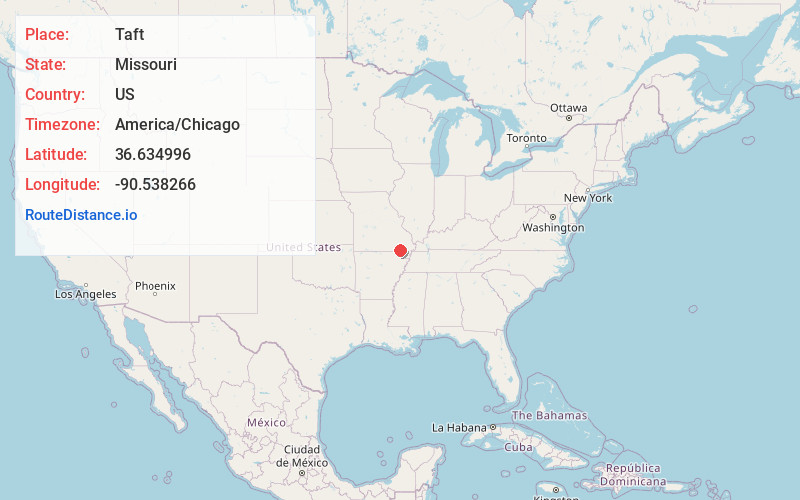
Full AddressTaft, MO 63945
-
Coordinates36.6349956, -90.5382659
-
LocationTaft , Missouri , US
-
TimezoneAmerica/Chicago
-
Current Local Time5:04:09 AM America/ChicagoSaturday, May 31, 2025
-
Page Views0
Nearby Places
Found 10 places within 50 miles

Parks
2.1 mi
3.4 km
Parks, Neely Township, MO 63945
Get directions
Angus
3.0 mi
4.8 km
Angus, MO 63954
Get directions
Harviell
4.2 mi
6.8 km
Harviell, MO
Get directions
Lone Hill
4.6 mi
7.4 km
Lone Hill, Beaver Dam Township, MO 63901
Get directions

Fairdealing
4.8 mi
7.7 km
Fairdealing, MO 63945
Get directions
Neelyville
5.4 mi
8.7 km
Neelyville, MO 63954
Get directions
Naylor
5.5 mi
8.9 km
Naylor, MO 63945
Get directions
Gamburg
5.6 mi
9.0 km
Gamburg, Washington Township, MO 63945
Get directions
Stringtown
8.5 mi
13.7 km
Stringtown, MO 63901
Get directions
Hemenway
8.7 mi
14.0 km
Hemenway, Thomas Township, MO 63954
Get directions
Location Links
Local Weather
Weather Information
Coming soon!
Location Map
Static map view of Taft, Missouri
Browse Places by Distance
Places within specific distances from Taft
Short Distances
Long Distances
Click any distance to see all places within that range from Taft. Distances shown in miles (1 mile ≈ 1.61 kilometers).