Distance to Tahoe City, California

Calculating Your Route
Just a moment while we process your request...
Location Information
-
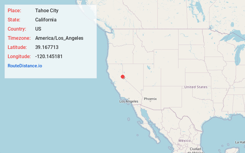
Full AddressTahoe City, CA
-
Coordinates39.1677134, -120.1451812
-
LocationTahoe City , California , US
-
TimezoneAmerica/Los_Angeles
-
Current Local Time6:38:28 AM America/Los_AngelesWednesday, June 18, 2025
-
Page Views0
About Tahoe City
Tahoe City is an unincorporated town in Placer County, California. Tahoe City is located on the shore of Lake Tahoe, at the outlet of the Truckee River.
The site was surveyed in 1863, and Tahoe House was built in 1864.


Nearby Places
Found 10 places within 50 miles

Olympic Valley
5.3 mi
8.5 km
Olympic Valley, CA 96146
Get directions

Kings Beach
8.0 mi
12.9 km
Kings Beach, CA
Get directions

Truckee
11.3 mi
18.2 km
Truckee, CA 96161
Get directions

Incline Village
11.8 mi
19.0 km
Incline Village, NV
Get directions

Kingsbury
18.4 mi
29.6 km
Kingsbury, NV
Get directions

Indian Hills
20.2 mi
32.5 km
Indian Hills, NV
Get directions

Carson City
20.2 mi
32.5 km
Carson City, NV
Get directions

New Washoe City
21.7 mi
34.9 km
New Washoe City, NV 89704
Get directions

Meyers
22.9 mi
36.9 km
Meyers, CA 96150
Get directions

Johnson Lane
24.1 mi
38.8 km
Johnson Lane, NV 89423
Get directions
Location Links
Local Weather
Weather Information
Coming soon!
Location Map
Static map view of Tahoe City, California
Browse Places by Distance
Places within specific distances from Tahoe City
Short Distances
Long Distances
Click any distance to see all places within that range from Tahoe City. Distances shown in miles (1 mile ≈ 1.61 kilometers).