Distance to Takilma, Oregon

Calculating Your Route
Just a moment while we process your request...
Location Information
-
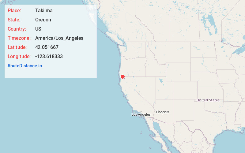
Full AddressTakilma, OR 97523
-
Coordinates42.051667, -123.6183329
-
LocationTakilma , Oregon , US
-
TimezoneAmerica/Los_Angeles
-
Current Local Time5:23:45 AM America/Los_AngelesFriday, May 30, 2025
-
Page Views0
About Takilma
Takilma is an unincorporated community and census-designated place in Josephine County, Oregon, United States, 10 miles south of Cave Junction. It is located on the East Fork Illinois River, about a mile southeast of the ghost town of Waldo. As of the 2010 census, it had a population of 378.
Nearby Places
Found 10 places within 50 miles

Cave Junction
7.8 mi
12.6 km
Cave Junction, OR 97523
Get directions

Selma
15.7 mi
25.3 km
Selma, OR 97538
Get directions

Williams
21.1 mi
34.0 km
Williams, OR 97544
Get directions

Happy Camp
21.7 mi
34.9 km
Happy Camp, CA 96039
Get directions

New Hope
25.0 mi
40.2 km
New Hope, OR 97527
Get directions

Redwood
28.2 mi
45.4 km
Redwood, OR 97527
Get directions

Smith River
28.4 mi
45.7 km
Smith River, CA
Get directions

Fort Dick
30.2 mi
48.6 km
Fort Dick, CA 95531
Get directions

Grants Pass
30.6 mi
49.2 km
Grants Pass, OR
Get directions
Ruch
32.3 mi
52.0 km
Ruch, OR 97530
Get directions
Location Links
Local Weather
Weather Information
Coming soon!
Location Map
Static map view of Takilma, Oregon
Browse Places by Distance
Places within specific distances from Takilma
Short Distances
Long Distances
Click any distance to see all places within that range from Takilma. Distances shown in miles (1 mile ≈ 1.61 kilometers).