Distance to Talala, Oklahoma

Calculating Your Route
Just a moment while we process your request...
Location Information
-
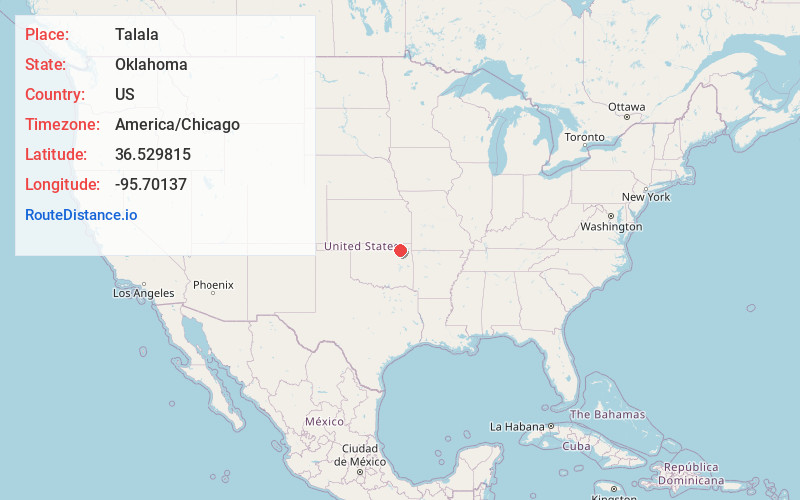
Full AddressTalala, OK 74080
-
Coordinates36.5298152, -95.7013701
-
LocationTalala , Oklahoma , US
-
TimezoneAmerica/Chicago
-
Current Local Time11:44:47 AM America/ChicagoSunday, June 1, 2025
-
Page Views0
About Talala
Talala is a town in Rogers County, Oklahoma, United States. The population was 273 at the 2010 census.


Nearby Places
Found 10 places within 50 miles

Oologah
5.7 mi
9.2 km
Oologah, OK 74053
Get directions

Bushyhead
11.1 mi
17.9 km
Bushyhead, OK
Get directions

Vera
11.4 mi
18.3 km
Vera, OK
Get directions

Foyil
12.1 mi
19.5 km
Foyil, OK 74017
Get directions

Nowata
12.3 mi
19.8 km
Nowata, OK 74048
Get directions

Ramona
12.3 mi
19.8 km
Ramona, OK
Get directions

Sequoyah
13.3 mi
21.4 km
Sequoyah, OK 74017
Get directions

Collinsville
13.7 mi
22.0 km
Collinsville, OK 74021
Get directions

Chelsea
14.9 mi
24.0 km
Chelsea, OK 74016
Get directions
Limestone
15.1 mi
24.3 km
Limestone, OK
Get directions
Location Links
Local Weather
Weather Information
Coming soon!
Location Map
Static map view of Talala, Oklahoma
Browse Places by Distance
Places within specific distances from Talala
Short Distances
Long Distances
Click any distance to see all places within that range from Talala. Distances shown in miles (1 mile ≈ 1.61 kilometers).