Distance to Tamworth, New Hampshire

Calculating Your Route
Just a moment while we process your request...
Location Information
-
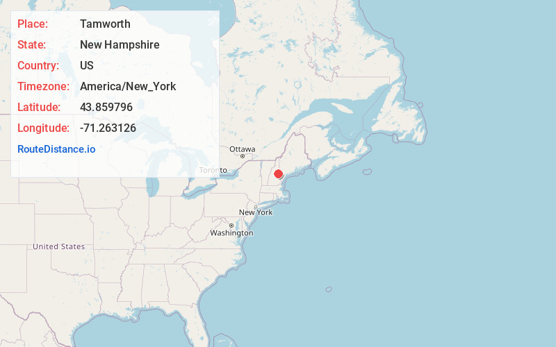
Full AddressTamworth, NH
-
Coordinates43.8597958, -71.2631263
-
LocationTamworth , New Hampshire , US
-
TimezoneAmerica/New_York
-
Current Local Time3:48:09 AM America/New_YorkFriday, May 23, 2025
-
Website
-
Page Views0
About Tamworth
Tamworth is a town in Carroll County, New Hampshire, United States. The population was 2,812 at the 2020 census. Tamworth includes the villages of Chocorua, South Tamworth, Wonalancet, and Whittier. The White Mountain National Forest is to the north.


Nearby Places
Found 10 places within 50 miles

Moultonborough
9.8 mi
15.8 km
Moultonborough, NH
Get directions

Conway
10.9 mi
17.5 km
Conway, NH
Get directions

Ossipee
14.1 mi
22.7 km
Ossipee, NH
Get directions

Bartlett
14.9 mi
24.0 km
Bartlett, NH
Get directions

Fryeburg
18.2 mi
29.3 km
Fryeburg, ME 04037
Get directions

Meredith
18.3 mi
29.5 km
Meredith, NH
Get directions

Campton
19.2 mi
30.9 km
Campton, NH 03223
Get directions

Wolfeboro
19.2 mi
30.9 km
Wolfeboro, NH
Get directions

Gilford
20.7 mi
33.3 km
Gilford, NH 03249
Get directions

Plymouth
22.3 mi
35.9 km
Plymouth, NH 03264
Get directions
Location Links
Local Weather
Weather Information
Coming soon!
Location Map
Static map view of Tamworth, New Hampshire
Browse Places by Distance
Places within specific distances from Tamworth
Short Distances
Long Distances
Click any distance to see all places within that range from Tamworth. Distances shown in miles (1 mile ≈ 1.61 kilometers).