Distance to Tamworth, England

Calculating Your Route
Just a moment while we process your request...
Location Information
-
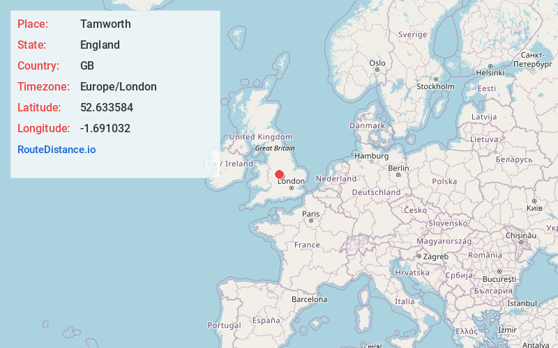
Full AddressTamworth, UK
-
Coordinates52.633584, -1.691032
-
LocationTamworth , England , GB
-
TimezoneEurope/London
-
Current Local Time10:09:43 PM Europe/LondonThursday, May 29, 2025
-
Website
-
Page Views0
About Tamworth
Tamworth is a market town and borough in Staffordshire, England, 14 miles north-east of Birmingham. The town borders North Warwickshire to the east and south, Lichfield to the north, south-west and west. The town takes its name from the River Tame, which flows through it. The population of Tamworth borough was 79,639.


Nearby Places
Found 7 places within 50 miles

Coventry
17.1 mi
27.5 km
Coventry, UK
Get directions

Staffordshire
19.7 mi
31.7 km
Staffordshire, UK
Get directions

Leicester
23.1 mi
37.2 km
Leicester, UK
Get directions

England
29.0 mi
46.7 km
England, UK
Get directions

Stratford-upon-Avon
30.5 mi
49.1 km
Stratford-upon-Avon, UK
Get directions

Nottingham
31.5 mi
50.7 km
Nottingham, UK
Get directions

Great Malvern
44.9 mi
72.3 km
Great Malvern, Malvern, UK
Get directions
Location Links
Local Weather
Weather Information
Coming soon!
Location Map
Static map view of Tamworth, England
Browse Places by Distance
Places within specific distances from Tamworth
Short Distances
Long Distances
Click any distance to see all places within that range from Tamworth. Distances shown in miles (1 mile ≈ 1.61 kilometers).