Distance to Tarry Park, Indiana

Calculating Your Route
Just a moment while we process your request...
Location Information
-
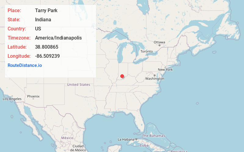
Full AddressTarry Park, IN 47421
-
Coordinates38.800865, -86.5092389
-
LocationTarry Park , Indiana , US
-
TimezoneAmerica/Indianapolis
-
Page Views0
About Tarry Park
Tarry Park, formerly known as Juliett and Red Cross Park, is an unincorporated community in Marion Township, Lawrence County, Indiana.
Nearby Places
Found 10 places within 50 miles

Yockey
1.2 mi
1.9 km
Yockey, IN 47446
Get directions
Hartleyville
1.4 mi
2.3 km
Hartleyville, IN 47421
Get directions
Rabbitville
2.9 mi
4.7 km
Rabbitville, IN 47446
Get directions
Coxton
3.5 mi
5.6 km
Coxton, IN 47421
Get directions
Bryantsville
4.1 mi
6.6 km
Bryantsville, IN 47446
Get directions

Bedford
4.3 mi
6.9 km
Bedford, IN 47421
Get directions

Mitchell
5.1 mi
8.2 km
Mitchell, IN 47446
Get directions
Buddha
5.6 mi
9.0 km
Buddha, IN 47421
Get directions

Fayetteville
6.2 mi
10.0 km
Fayetteville, IN 47421
Get directions
Rivervale
6.4 mi
10.3 km
Rivervale, IN 47446
Get directions
Location Links
Local Weather
Weather Information
Coming soon!
Location Map
Static map view of Tarry Park, Indiana
Browse Places by Distance
Places within specific distances from Tarry Park
Short Distances
Long Distances
Click any distance to see all places within that range from Tarry Park. Distances shown in miles (1 mile ≈ 1.61 kilometers).