Distance to Tawawa, Ohio

Calculating Your Route
Just a moment while we process your request...
Location Information
-
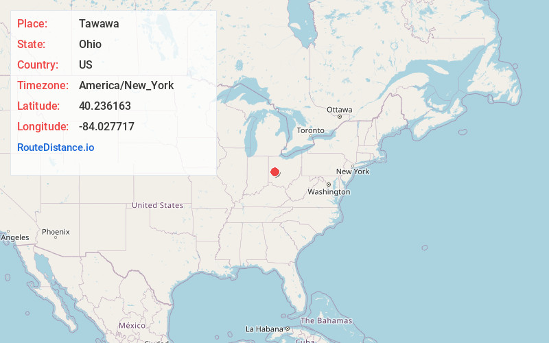
Full AddressTawawa, Green Township, OH 45365
-
Coordinates40.236163, -84.0277167
-
LocationGreen Township , Ohio , US
-
TimezoneAmerica/New_York
-
Current Local Time5:21:43 AM America/New_YorkWednesday, June 18, 2025
-
Page Views0
About Tawawa
Tawawa is an unincorporated community in northeastern Green Township, Shelby County, Ohio, United States. It lies along State Route 29 less than one mile away from the Champaign County border. Mosquito Creek, a tributary of the Great Miami River, flows northwestward along the southern edge of Tawawa.
Nearby Places
Found 10 places within 50 miles

Rosewood
3.8 mi
6.1 km
Rosewood, OH
Get directions

Quincy
5.4 mi
8.7 km
Quincy, OH 43343
Get directions

Conover
7.0 mi
11.3 km
Conover, OH
Get directions

Port Jefferson
7.3 mi
11.7 km
Port Jefferson, OH
Get directions

Sidney
7.5 mi
12.1 km
Sidney, OH 45365
Get directions

Fletcher
7.7 mi
12.4 km
Fletcher, OH 45326
Get directions

De Graff
7.9 mi
12.7 km
De Graff, OH 43318
Get directions

St Paris
8.3 mi
13.4 km
St Paris, OH 43072
Get directions
Lockington
11.0 mi
17.7 km
Lockington, OH 45356
Get directions

Christiansburg
12.5 mi
20.1 km
Christiansburg, OH
Get directions
Location Links
Local Weather
Weather Information
Coming soon!
Location Map
Static map view of Tawawa, Ohio
Browse Places by Distance
Places within specific distances from Tawawa
Short Distances
Long Distances
Click any distance to see all places within that range from Tawawa. Distances shown in miles (1 mile ≈ 1.61 kilometers).