Distance to and from Taylor Crossroads, North Carolina
Taylor Crossroads, NC 27891
North Carolina
US
America/New_York
Location Information
-
Full AddressTaylor Crossroads, NC 27891
-
Coordinates36.124875, -77.7421984
-
LocationNorth Carolina , US
-
TimezoneAmerica/New_York
-
Current Local Time3:55:03 PM America/New_YorkSaturday, May 3, 2025
-
Page Views0
Directions to Nearest Cities
Nearby Places
Found 10 places within 50 miles

Whitakers
2.1 mi
3.4 km
Whitakers, NC 27891
Get directions
Gold Rock
5.5 mi
8.9 km
Gold Rock, NC 27809
Get directions

Enfield
5.7 mi
9.2 km
Enfield, NC 27823
Get directions
Cherry Crossroads
5.7 mi
9.2 km
Cherry Crossroads, NC 27809
Get directions
Drake
7.3 mi
11.7 km
Drake, NC 27809
Get directions
Ringwood
8.4 mi
13.5 km
Ringwood, NC 27823
Get directions

Dortches
10.1 mi
16.3 km
Dortches, NC
Get directions

Red Oak
10.9 mi
17.5 km
Red Oak, NC
Get directions
Wrendale
11.0 mi
17.7 km
Wrendale, NC 27809
Get directions
Aventon
11.7 mi
18.8 km
Aventon, NC 27856
Get directions
Whitakers
2.1 mi
3.4 km
Whitakers, NC 27891
Gold Rock
5.5 mi
8.9 km
Gold Rock, NC 27809
Enfield
5.7 mi
9.2 km
Enfield, NC 27823
Cherry Crossroads
5.7 mi
9.2 km
Cherry Crossroads, NC 27809
Drake
7.3 mi
11.7 km
Drake, NC 27809
Ringwood
8.4 mi
13.5 km
Ringwood, NC 27823
Dortches
10.1 mi
16.3 km
Dortches, NC
Red Oak
10.9 mi
17.5 km
Red Oak, NC
Wrendale
11.0 mi
17.7 km
Wrendale, NC 27809
Aventon
11.7 mi
18.8 km
Aventon, NC 27856
Location Links
Local Weather
Weather Information
Coming soon!
Location Map
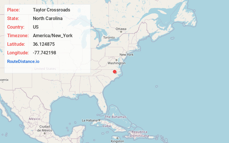
Static map view of Taylor Crossroads, North Carolina
Browse Places by Distance
Places within specific distances from Taylor Crossroads
Short Distances
Long Distances
Click any distance to see all places within that range from Taylor Crossroads. Distances shown in miles (1 mile ≈ 1.61 kilometers).