Distance to Taylorsville, Indiana

Calculating Your Route
Just a moment while we process your request...
Location Information
-
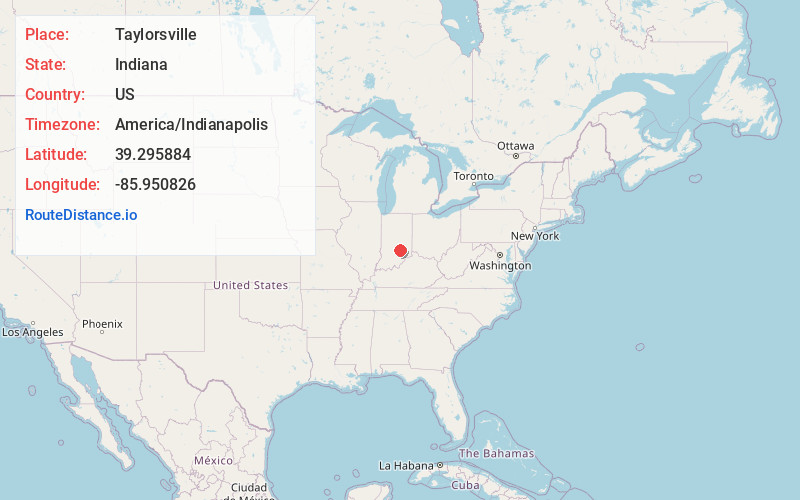
Full AddressTaylorsville, IN
-
Coordinates39.2958844, -85.9508264
-
LocationTaylorsville , Indiana , US
-
TimezoneAmerica/Indianapolis
-
Page Views0
About Taylorsville
Taylorsville is a census-designated place in German Township, Bartholomew County, in the U.S. state of Indiana. The population was 867 at the 2020 census. It is part of the Columbus, Indiana metropolitan statistical area.
Nearby Places
Found 10 places within 50 miles

Edinburgh
4.1 mi
6.6 km
Edinburgh, IN 46124
Get directions

Columbus
6.7 mi
10.8 km
Columbus, IN
Get directions

Princes Lakes
8.8 mi
14.2 km
Princes Lakes, IN
Get directions

Hope
9.6 mi
15.4 km
Hope, IN 47246
Get directions

Trafalgar
13.5 mi
21.7 km
Trafalgar, IN 46181
Get directions

Franklin
13.9 mi
22.4 km
Franklin, IN
Get directions

Nashville
17.0 mi
27.4 km
Nashville, IN 47448
Get directions

Morgantown
17.4 mi
28.0 km
Morgantown, IN 46160
Get directions

Shelbyville
18.1 mi
29.1 km
Shelbyville, IN 46176
Get directions

Waldron
18.7 mi
30.1 km
Waldron, IN 46182
Get directions
Location Links
Local Weather
Weather Information
Coming soon!
Location Map
Static map view of Taylorsville, Indiana
Browse Places by Distance
Places within specific distances from Taylorsville
Short Distances
Long Distances
Click any distance to see all places within that range from Taylorsville. Distances shown in miles (1 mile ≈ 1.61 kilometers).