Distance to Taylorsville, Mississippi

Calculating Your Route
Just a moment while we process your request...
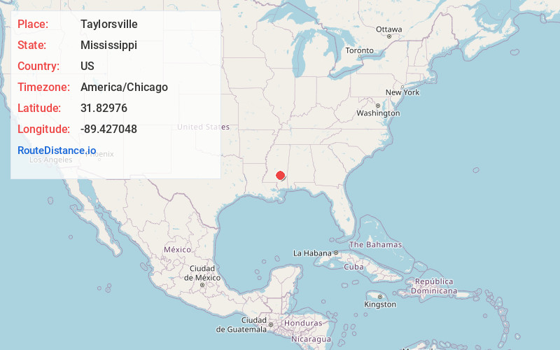
Location Information
-
Full AddressTaylorsville, MS 39168
-
Coordinates31.8297603, -89.4270477
-
LocationTaylorsville , Mississippi , US
-
TimezoneAmerica/Chicago
-
Current Local Time11:20:30 AM America/ChicagoSunday, June 1, 2025
-
Page Views0
About Taylorsville
Taylorsville is a town located in southeastern Smith County, Mississippi, United States. The population was 1,148 at the 2020 census. It is the most populous community in Smith County.
Nearby Places
Found 10 places within 50 miles

Collins
14.8 mi
23.8 km
Collins, MS 39428
Get directions

Magee
18.3 mi
29.5 km
Magee, MS
Get directions

Laurel
19.8 mi
31.9 km
Laurel, MS
Get directions

Ellisville
20.7 mi
33.3 km
Ellisville, MS 39437
Get directions

Mendenhall
27.5 mi
44.3 km
Mendenhall, MS 39114
Get directions

Sumrall
29.3 mi
47.2 km
Sumrall, MS 39482
Get directions

Rawls Springs
31.2 mi
50.2 km
Rawls Springs, MS 39402
Get directions

Petal
34.8 mi
56.0 km
Petal, MS 39465
Get directions
West Hattiesburg
35.4 mi
57.0 km
West Hattiesburg, MS 39402
Get directions

Hattiesburg
35.7 mi
57.5 km
Hattiesburg, MS
Get directions
Location Links
Local Weather
Weather Information
Coming soon!
Location Map
Static map view of Taylorsville, Mississippi
Browse Places by Distance
Places within specific distances from Taylorsville
Short Distances
Long Distances
Click any distance to see all places within that range from Taylorsville. Distances shown in miles (1 mile ≈ 1.61 kilometers).