Distance to Tebbetts, Missouri

Calculating Your Route
Just a moment while we process your request...
Location Information
-
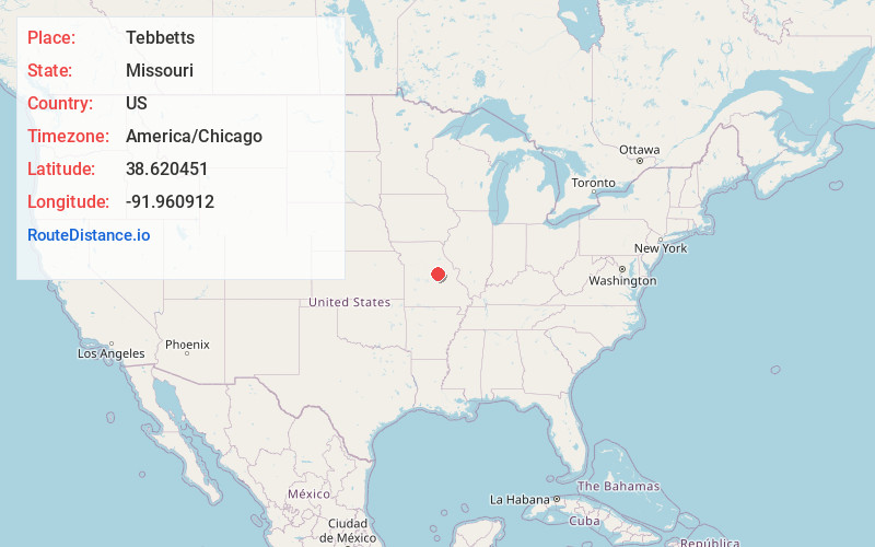
Full AddressTebbetts, MO 65080
-
Coordinates38.6204505, -91.9609115
-
LocationTebbetts , Missouri , US
-
TimezoneAmerica/Chicago
-
Current Local Time4:33:37 PM America/ChicagoSaturday, June 21, 2025
-
Page Views0
About Tebbetts
Tebbetts is an unincorporated community in southern Callaway County, Missouri, United States. It is part of the Jefferson City, Missouri Metropolitan Statistical Area. Tebbetts is located on Route 94, approximately 8 miles east of Jefferson City, on the north edge of the Missouri River floodplain.


Nearby Places
Found 10 places within 50 miles

Holts Summit
8.8 mi
14.2 km
Holts Summit, MO 65043
Get directions

New Bloomfield
9.6 mi
15.4 km
New Bloomfield, MO 65063
Get directions

Taos
9.9 mi
15.9 km
Taos, MO 65101
Get directions

Linn
11.0 mi
17.7 km
Linn, MO 65051
Get directions

Westphalia
12.5 mi
20.1 km
Westphalia, MO
Get directions

Wardsville
14.7 mi
23.7 km
Wardsville, MO 65101
Get directions

Fulton
15.6 mi
25.1 km
Fulton, MO 65251
Get directions

Ashland
19.2 mi
30.9 km
Ashland, MO
Get directions

St Martins
20.0 mi
32.2 km
St Martins, MO
Get directions

Belle
26.5 mi
42.6 km
Belle, MO 65013
Get directions
Location Links
Local Weather
Weather Information
Coming soon!
Location Map
Static map view of Tebbetts, Missouri
Browse Places by Distance
Places within specific distances from Tebbetts
Short Distances
Long Distances
Click any distance to see all places within that range from Tebbetts. Distances shown in miles (1 mile ≈ 1.61 kilometers).