Distance to Tecate, Baja California

Calculating Your Route
Just a moment while we process your request...
Location Information
-
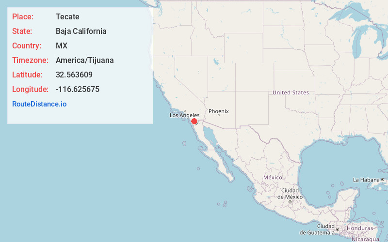
Full AddressTecate, Baja California, Mexico
-
Coordinates32.563609, -116.6256752
-
LocationTecate , Baja California , MX
-
TimezoneAmerica/Tijuana
-
Current Local Time9:58:05 AM America/TijuanaThursday, June 19, 2025
-
Website
-
Page Views0
About Tecate
Tecate is a city in Tecate Municipality, Baja California. It is across the Mexico–US border from Tecate, California. As of 2019, the city had a population of 108,860 inhabitants, while the metropolitan area has a population of 132,406 inhabitants.


Nearby Places
Found 10 places within 50 miles

Potrero
3.6 mi
5.8 km
Potrero, CA 91963
Get directions

Barrett Junction
5.8 mi
9.3 km
Barrett Junction, CA 91917
Get directions

Canyon City
6.1 mi
9.8 km
Canyon City, CA 91906
Get directions
Engineer Springs
9.3 mi
15.0 km
Engineer Springs, CA 91917
Get directions

Campo
9.6 mi
15.4 km
Campo, CA 91906
Get directions

Dulzura
10.6 mi
17.1 km
Dulzura, CA 91917
Get directions
Clover Flat
14.0 mi
22.5 km
Clover Flat, CA 91906
Get directions
Boulder Oaks
14.2 mi
22.9 km
Boulder Oaks, CA 91906
Get directions

Jamul
18.0 mi
29.0 km
Jamul, CA
Get directions

Pine Valley
18.7 mi
30.1 km
Pine Valley, CA 91962
Get directions
Location Links
Local Weather
Weather Information
Coming soon!
Location Map
Static map view of Tecate, Baja California
Browse Places by Distance
Places within specific distances from Tecate
Short Distances
Long Distances
Click any distance to see all places within that range from Tecate. Distances shown in miles (1 mile ≈ 1.61 kilometers).