Distance to Tedrow, Ohio

Calculating Your Route
Just a moment while we process your request...
Location Information
-
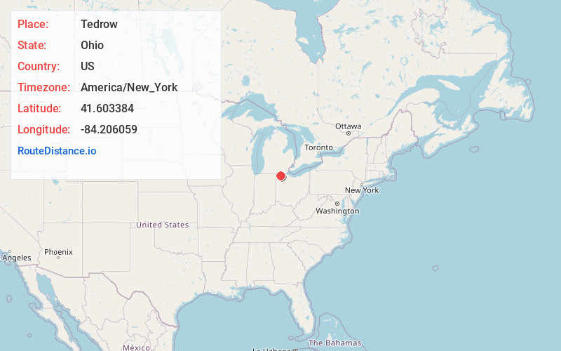
Full AddressTedrow, OH 43567
-
Coordinates41.6033843, -84.2060594
-
LocationTedrow , Ohio , US
-
TimezoneAmerica/New_York
-
Current Local Time8:04:52 PM America/New_YorkTuesday, June 24, 2025
-
Page Views0
About Tedrow
Tedrow is an unincorporated community and census-designated place in southwestern Dover Township, Fulton County, Ohio, United States.
Nearby Places
Found 10 places within 50 miles

Wauseon
5.0 mi
8.0 km
Wauseon, OH 43567
Get directions

Pettisville
5.2 mi
8.4 km
Pettisville, OH
Get directions

Archbold
7.7 mi
12.4 km
Archbold, OH 43502
Get directions

Fayette
7.9 mi
12.7 km
Fayette, OH 43521
Get directions

Morenci
8.0 mi
12.9 km
Morenci, MI 49256
Get directions

Lyons
9.7 mi
15.6 km
Lyons, OH 43533
Get directions

Delta
10.6 mi
17.1 km
Delta, OH 43515
Get directions
Ridgeville Corners
11.7 mi
18.8 km
Ridgeville Corners, OH
Get directions

West Unity
11.9 mi
19.2 km
West Unity, OH 43570
Get directions

Fairfield Township
11.9 mi
19.2 km
Fairfield Township, MI
Get directions
Location Links
Local Weather
Weather Information
Coming soon!
Location Map
Static map view of Tedrow, Ohio
Browse Places by Distance
Places within specific distances from Tedrow
Short Distances
Long Distances
Click any distance to see all places within that range from Tedrow. Distances shown in miles (1 mile ≈ 1.61 kilometers).