Distance to and from Tega Cay, South Carolina
Tega Cay, SC 29708
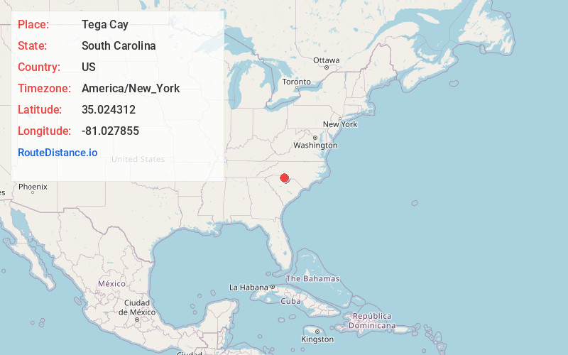
Tega Cay
South Carolina
US
America/New_York
Location Information
-
Full AddressTega Cay, SC 29708
-
Coordinates35.024312, -81.0278546
-
LocationTega Cay , South Carolina , US
-
TimezoneAmerica/New_York
-
Current Local Time2:11:58 PM America/New_YorkSaturday, May 3, 2025
-
Website
-
Page Views0
Directions to Nearest Cities
About Tega Cay
Tega Cay is a planned city in York County, South Carolina, United States, located west of Fort Mill and north of Rock Hill. It is a suburb of Charlotte, North Carolina. The population was recorded at 12,832 as of the 2020 U.S. Census.


Nearby Places
Found 10 places within 50 miles

Fort Mill
4.8 mi
7.7 km
Fort Mill, SC
Get directions

Lake Wylie
5.9 mi
9.5 km
Lake Wylie, SC
Get directions

Rock Hill
6.9 mi
11.1 km
Rock Hill, SC
Get directions

Weddington
15.1 mi
24.3 km
Weddington, NC
Get directions

Belmont
15.2 mi
24.5 km
Belmont, NC
Get directions

Charlotte
17.3 mi
27.8 km
Charlotte, NC
Get directions

Waxhaw
17.5 mi
28.2 km
Waxhaw, NC 28173
Get directions

Matthews
18.4 mi
29.6 km
Matthews, NC
Get directions

Gastonia
18.7 mi
30.1 km
Gastonia, NC
Get directions

Mt Holly
18.8 mi
30.3 km
Mt Holly, NC
Get directions
Fort Mill
4.8 mi
7.7 km
Fort Mill, SC
Lake Wylie
5.9 mi
9.5 km
Lake Wylie, SC
Rock Hill
6.9 mi
11.1 km
Rock Hill, SC
Weddington
15.1 mi
24.3 km
Weddington, NC
Belmont
15.2 mi
24.5 km
Belmont, NC
Charlotte
17.3 mi
27.8 km
Charlotte, NC
Waxhaw
17.5 mi
28.2 km
Waxhaw, NC 28173
Matthews
18.4 mi
29.6 km
Matthews, NC
Gastonia
18.7 mi
30.1 km
Gastonia, NC
Mt Holly
18.8 mi
30.3 km
Mt Holly, NC
Location Links
Local Weather
Weather Information
Coming soon!
Location Map
Static map view of Tega Cay, South Carolina
Browse Places by Distance
Places within specific distances from Tega Cay
Short Distances
Long Distances
Click any distance to see all places within that range from Tega Cay. Distances shown in miles (1 mile ≈ 1.61 kilometers).