Distance to Tell City, Indiana

Calculating Your Route
Just a moment while we process your request...
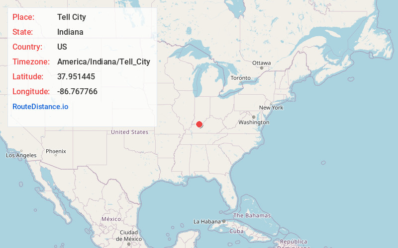
Location Information
-
Full AddressTell City, IN
-
Coordinates37.9514447, -86.7677663
-
LocationTell City , Indiana , US
-
TimezoneAmerica/Indiana/Tell_City
-
Current Local Time3:03:08 PM America/Indiana/Tell_CityWednesday, June 4, 2025
-
Website
-
Page Views0
About Tell City
Tell City is a city in and the county seat of Troy Township, Perry County, in the U.S. state of Indiana. It is located along the Ohio River. The population was 7,506 at the 2020 census.


Nearby Places
Found 6 places within 50 miles

Owensboro
22.7 mi
36.5 km
Owensboro, KY
Get directions

Jasper
31.7 mi
51.0 km
Jasper, IN
Get directions

Evansville
43.8 mi
70.5 km
Evansville, IN
Get directions

Fort Knox
44.3 mi
71.3 km
Fort Knox, KY 40121
Get directions

Henderson
45.4 mi
73.1 km
Henderson, KY 42420
Get directions

Radcliff
45.4 mi
73.1 km
Radcliff, KY
Get directions
Location Links
Local Weather
Weather Information
Coming soon!
Location Map
Static map view of Tell City, Indiana
Browse Places by Distance
Places within specific distances from Tell City
Short Distances
Long Distances
Click any distance to see all places within that range from Tell City. Distances shown in miles (1 mile ≈ 1.61 kilometers).