Distance to Telocaset, Oregon

Calculating Your Route
Just a moment while we process your request...
Location Information
-
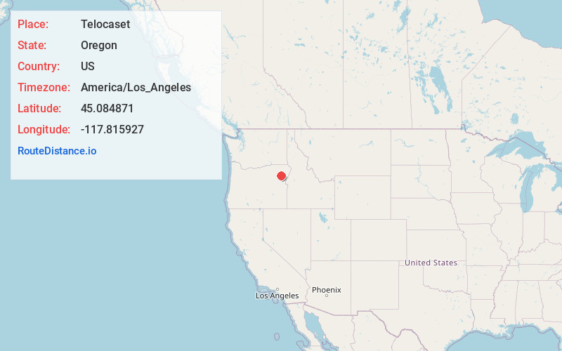
Full AddressTelocaset, OR
-
Coordinates45.0848712, -117.8159266
-
LocationTelocaset , Oregon , US
-
TimezoneAmerica/Los_Angeles
-
Current Local Time4:34:41 PM America/Los_AngelesThursday, June 5, 2025
-
Page Views0
About Telocaset
Telocaset is an unincorporated community in Union County, Oregon, United States. It was a stagecoach station whose name comes from the Nez Perce word meaning "a thing at the top" or "put on top". The Nez Perce pronounced the word taule-karset.


Nearby Places
Found 10 places within 50 miles

North Powder
6.4 mi
10.3 km
North Powder, OR 97867
Get directions

Union
8.9 mi
14.3 km
Union, OR 97883
Get directions

Hutchinson
11.1 mi
17.9 km
Hutchinson, OR 97833
Get directions
Hot Lake
13.0 mi
20.9 km
Hot Lake, OR 97850
Get directions

Haines
13.4 mi
21.6 km
Haines, OR 97833
Get directions

Cove
14.6 mi
23.5 km
Cove, OR 97824
Get directions

Island City
20.9 mi
33.6 km
Island City, OR 97850
Get directions

La Grande
21.2 mi
34.1 km
La Grande, OR 97850
Get directions

Baker City
21.4 mi
34.4 km
Baker City, OR 97814
Get directions

Perry
24.9 mi
40.1 km
Perry, OR 97850
Get directions
Location Links
Local Weather
Weather Information
Coming soon!
Location Map
Static map view of Telocaset, Oregon
Browse Places by Distance
Places within specific distances from Telocaset
Short Distances
Long Distances
Click any distance to see all places within that range from Telocaset. Distances shown in miles (1 mile ≈ 1.61 kilometers).