Distance to Temple, North Dakota

Calculating Your Route
Just a moment while we process your request...
Location Information
-
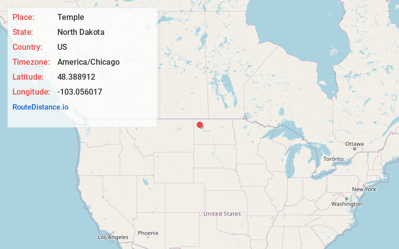
Full AddressTemple, ND 58852
-
Coordinates48.3889115, -103.0560166
-
LocationTemple , North Dakota , US
-
TimezoneAmerica/Chicago
-
Current Local Time4:13:36 PM America/ChicagoWednesday, June 18, 2025
-
Page Views0
About Temple
Temple is ghost town located in Williams County, North Dakota, United States. There are some remaining structures which include: a small garage, a couple small outbuildings and a couple caved-in houses. In 2003, one of the last two business buildings was either torn down or burned.
Nearby Places
Found 10 places within 50 miles

Tioga
5.4 mi
8.7 km
Tioga, ND 58852
Get directions

Ray
5.9 mi
9.5 km
Ray, ND 58849
Get directions

White Earth
13.0 mi
20.9 km
White Earth, ND 58794
Get directions

McGregor
15.4 mi
24.8 km
McGregor, ND 58755
Get directions

Epping
15.8 mi
25.4 km
Epping, ND 58843
Get directions
Hamlet
16.6 mi
26.7 km
Hamlet, ND 58795
Get directions

Wildrose
17.7 mi
28.5 km
Wildrose, ND 58795
Get directions
Manitou
19.7 mi
31.7 km
Manitou, ND 58776
Get directions
Springbrook
21.0 mi
33.8 km
Springbrook, ND 58843
Get directions
Powers Lake
22.2 mi
35.7 km
Powers Lake, ND 58773
Get directions
Location Links
Local Weather
Weather Information
Coming soon!
Location Map
Static map view of Temple, North Dakota
Browse Places by Distance
Places within specific distances from Temple
Short Distances
Long Distances
Click any distance to see all places within that range from Temple. Distances shown in miles (1 mile ≈ 1.61 kilometers).