Distance to Templeton, Indiana

Calculating Your Route
Just a moment while we process your request...
Location Information
-
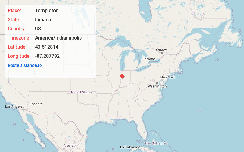
Full AddressTempleton, IN 47971
-
Coordinates40.5128139, -87.2077922
-
LocationTempleton , Indiana , US
-
TimezoneAmerica/Indianapolis
-
Page Views0
About Templeton
Templeton is an unincorporated community in Bolivar Township, Benton County, in the U.S. state of Indiana. It is part of the Lafayette, Indiana Metropolitan Statistical Area.
Nearby Places
Found 10 places within 50 miles

Oxford
2.2 mi
3.5 km
Oxford, IN 47971
Get directions

Pine Village
5.0 mi
8.0 km
Pine Village, IN 47975
Get directions

Otterbein
6.1 mi
9.8 km
Otterbein, IN
Get directions
Green Hill
8.5 mi
13.7 km
Green Hill, IN
Get directions

Boswell
9.0 mi
14.5 km
Boswell, IN 47921
Get directions

Fowler
9.3 mi
15.0 km
Fowler, IN 47944
Get directions

Montmorenci
9.8 mi
15.8 km
Montmorenci, IN
Get directions
Independence
12.3 mi
19.8 km
Independence, IN 47918
Get directions
Kramer
12.7 mi
20.4 km
Kramer, IN 47918
Get directions
West Point
14.5 mi
23.3 km
West Point, IN 47992
Get directions
Location Links
Local Weather
Weather Information
Coming soon!
Location Map
Static map view of Templeton, Indiana
Browse Places by Distance
Places within specific distances from Templeton
Short Distances
Long Distances
Click any distance to see all places within that range from Templeton. Distances shown in miles (1 mile ≈ 1.61 kilometers).