Distance to Temvik, North Dakota

Calculating Your Route
Just a moment while we process your request...
Location Information
-
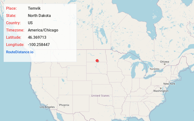
Full AddressTemvik, ND 58552
-
Coordinates46.3697125, -100.2584468
-
LocationTemvik , North Dakota , US
-
TimezoneAmerica/Chicago
-
Current Local Time11:08:37 AM America/ChicagoMonday, June 23, 2025
-
Page Views0
About Temvik
Temvik is a ghost town in Emmons County, North Dakota, United States. It is situated between Linton and Hazelton. The town had a school and several grain elevators early in the twentieth century; all that remains today is a farm.
Temvik Cemetery is located west of the town along U.S. Route 83.
Nearby Places
Found 10 places within 50 miles

Linton
7.2 mi
11.6 km
Linton, ND 58552
Get directions

Hazelton
8.0 mi
12.9 km
Hazelton, ND 58544
Get directions

Braddock
15.6 mi
25.1 km
Braddock, ND 58524
Get directions

Cannon Ball
16.1 mi
25.9 km
Cannon Ball, ND
Get directions

Strasburg
17.0 mi
27.4 km
Strasburg, ND 58573
Get directions
Kintyre
19.3 mi
31.1 km
Kintyre, ND 58549
Get directions
Hull
24.4 mi
39.3 km
Hull, ND 58542
Get directions
Brittin
24.9 mi
40.1 km
Brittin, ND 58560
Get directions
Napoleon
25.1 mi
40.4 km
Napoleon, ND 58561
Get directions

Solen
25.8 mi
41.5 km
Solen, ND 58570
Get directions
Location Links
Local Weather
Weather Information
Coming soon!
Location Map
Static map view of Temvik, North Dakota
Browse Places by Distance
Places within specific distances from Temvik
Short Distances
Long Distances
Click any distance to see all places within that range from Temvik. Distances shown in miles (1 mile ≈ 1.61 kilometers).