Distance to Tepoztlán, Morelos

Calculating Your Route
Just a moment while we process your request...
Location Information
-
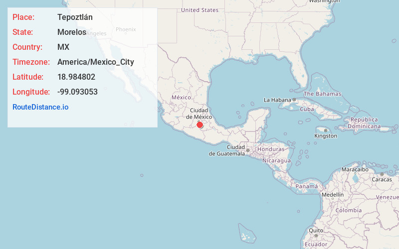
Full AddressTepoztlán, Morelos, Mexico
-
Coordinates18.9848015, -99.0930528
-
LocationTepoztlán , Morelos , MX
-
TimezoneAmerica/Mexico_City
-
Current Local Time5:13:31 AM America/Mexico_CityWednesday, May 21, 2025
-
Page Views0
About Tepoztlán
Tepoztlán is a Mexican town south of Mexico City. It’s known as the reputed birthplace of Quetzalcoatl, the Aztec feathered serpent god, and for its weekly craft market. A steep trail leads to the Aztec Tepozteco pyramid, on a clifftop above the town. A 16th-century former Dominican monastery, the Tepoztlán Ex-Convento, has a local history museum. The adjacent Carlos Pellicer Cámara Museum displays pre-Hispanic art.


Nearby Places


Location Links
Local Weather
Weather Information
Coming soon!
Location Map
Static map view of Tepoztlán, Morelos
Browse Places by Distance
Places within specific distances from Tepoztlán
Short Distances
Long Distances
Click any distance to see all places within that range from Tepoztlán. Distances shown in miles (1 mile ≈ 1.61 kilometers).