Distance to Teterville, Kansas

Calculating Your Route
Just a moment while we process your request...
Location Information
-
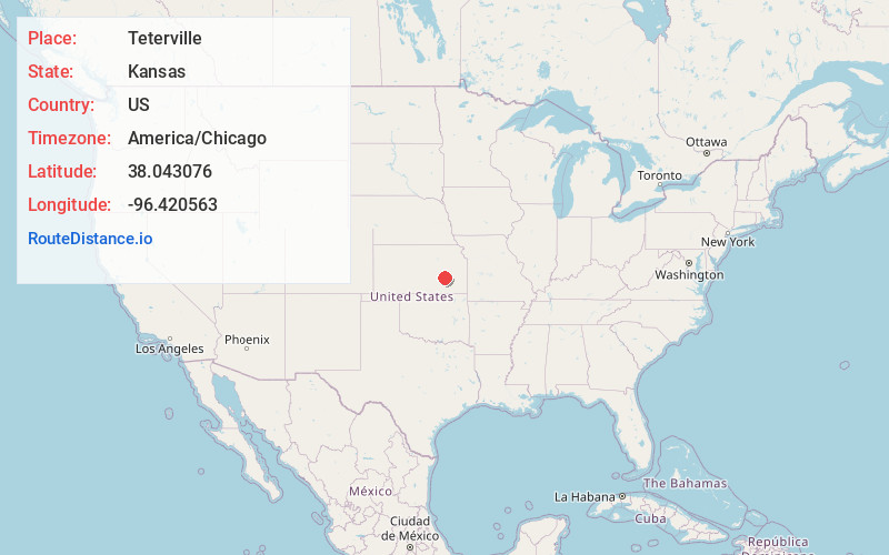
Full AddressTeterville, Salem Township, KS 66862
-
Coordinates38.0430763, -96.4205631
-
LocationSalem Township , Kansas , US
-
TimezoneAmerica/Chicago
-
Current Local Time1:41:21 AM America/ChicagoFriday, June 20, 2025
-
Page Views0
About Teterville
Teterville is a ghost town in Greenwood County, Kansas, United States. It is located approximately 11 miles east of Cassoday. No buildings remain of this former community.


Nearby Places
Found 10 places within 50 miles

Matfield Green
11.1 mi
17.9 km
Matfield Green, KS 66862
Get directions

Cassoday
11.9 mi
19.2 km
Cassoday, KS 66842
Get directions

Hamilton
14.6 mi
23.5 km
Hamilton, KS 66853
Get directions

Eureka
16.8 mi
27.0 km
Eureka, KS 67045
Get directions
Madison
16.8 mi
27.0 km
Madison, KS 66860
Get directions
Bisbee
17.1 mi
27.5 km
Bisbee, Janesville Township, KS 66860
Get directions
Rosalia
19.1 mi
30.7 km
Rosalia, KS
Get directions

Olpe
20.5 mi
33.0 km
Olpe, KS 66865
Get directions

Pontiac
22.4 mi
36.0 km
Pontiac, KS 67042
Get directions

Virgil
22.7 mi
36.5 km
Virgil, KS 66870
Get directions
Location Links
Local Weather
Weather Information
Coming soon!
Location Map
Static map view of Teterville, Kansas
Browse Places by Distance
Places within specific distances from Teterville
Short Distances
Long Distances
Click any distance to see all places within that range from Teterville. Distances shown in miles (1 mile ≈ 1.61 kilometers).