Distance to Teton, South Dakota

Calculating Your Route
Just a moment while we process your request...
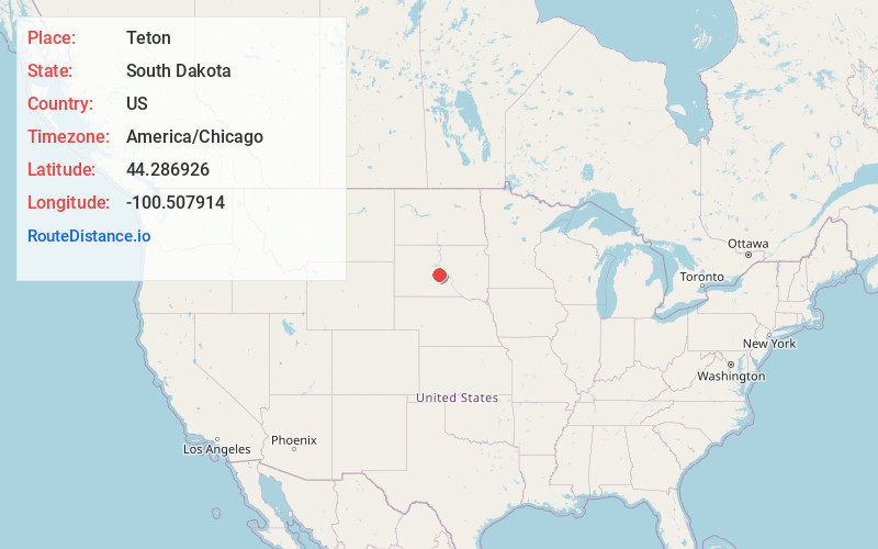
Location Information
-
Full AddressTeton, South Stanley, SD 57532
-
Coordinates44.2869263, -100.5079139
-
LocationSouth Stanley , South Dakota , US
-
TimezoneAmerica/Chicago
-
Current Local Time6:39:40 PM America/ChicagoThursday, June 19, 2025
-
Page Views0
About Teton
Teton is an unincorporated community in Stanley County, in the U.S. state of South Dakota.
Nearby Places
Found 10 places within 50 miles

Fort Pierre
8.1 mi
13.0 km
Fort Pierre, SD 57532
Get directions

Wendte
8.3 mi
13.4 km
Wendte, SD 57531
Get directions

Pierre
9.4 mi
15.1 km
Pierre, SD 57501
Get directions
Van Metre
16.7 mi
26.9 km
Van Metre, North Jones, SD 57552
Get directions
Gray Goose
16.9 mi
27.2 km
Gray Goose, West Hughes, SD 57501
Get directions
Lacy
17.3 mi
27.8 km
Lacy, North Stanley, SD 57532
Get directions

Cow Creek Recreation Area
18.9 mi
30.4 km
Cow Creek Recreation Area, Pierre, SD 57501
Get directions
Alto
19.1 mi
30.7 km
Alto, SD 57501
Get directions
Rousseau
21.7 mi
34.9 km
Rousseau, West Hughes, SD 57501
Get directions

Draper
25.0 mi
40.2 km
Draper, SD 57531
Get directions
Location Links
Local Weather
Weather Information
Coming soon!
Location Map
Static map view of Teton, South Dakota
Browse Places by Distance
Places within specific distances from Teton
Short Distances
Long Distances
Click any distance to see all places within that range from Teton. Distances shown in miles (1 mile ≈ 1.61 kilometers).