Distance to Texhoma, Texas

Calculating Your Route
Just a moment while we process your request...
Location Information
-
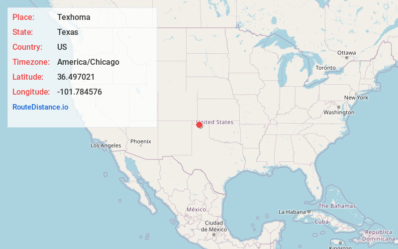
Full AddressTexhoma, TX
-
Coordinates36.4970206, -101.7845759
-
LocationTexhoma , Texas , US
-
TimezoneAmerica/Chicago
-
Current Local Time6:20:21 PM America/ChicagoSunday, June 15, 2025
-
Page Views0
About Texhoma
Texhoma is a city in northeastern Sherman County, Texas, United States. The population was 258 at the 2020 census, declining from 364 in 2010. Texhoma is a divided city, with the Texas-Oklahoma state border separating the city from Texhoma, Oklahoma. It is also the northernmost settlement in the entire state of Texas.
Nearby Places
Found 10 places within 50 miles

Texhoma
0.6 mi
1.0 km
Texhoma, OK 73949
Get directions

Goodwell
10.7 mi
17.2 km
Goodwell, OK 73939
Get directions

Stratford
19.5 mi
31.4 km
Stratford, TX 79084
Get directions

Guymon
21.2 mi
34.1 km
Guymon, OK 73942
Get directions
Gruver
26.5 mi
42.6 km
Gruver, TX 79040
Get directions

Cactus
33.1 mi
53.3 km
Cactus, TX
Get directions

Sunray
33.3 mi
53.6 km
Sunray, TX 79086
Get directions

Elkhart
35.8 mi
57.6 km
Elkhart, KS 67950
Get directions

Spearman
38.9 mi
62.6 km
Spearman, TX 79081
Get directions

Hooker
40.4 mi
65.0 km
Hooker, OK 73945
Get directions
Location Links
Local Weather
Weather Information
Coming soon!
Location Map
Static map view of Texhoma, Texas
Browse Places by Distance
Places within specific distances from Texhoma
Short Distances
Long Distances
Click any distance to see all places within that range from Texhoma. Distances shown in miles (1 mile ≈ 1.61 kilometers).