Distance to Texola, Kentucky

Calculating Your Route
Just a moment while we process your request...
Location Information
-
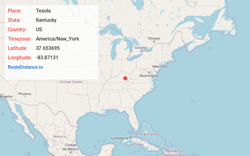
Full AddressTexola, KY 40336
-
Coordinates37.6536951, -83.8713097
-
LocationKentucky , US
-
TimezoneAmerica/New_York
-
Current Local Time2:51:01 AM America/New_YorkThursday, June 19, 2025
-
Page Views0
Nearby Places
Found 10 places within 50 miles

Shade
0.9 mi
1.4 km
Shade, KY 40336
Get directions
Millers Creek
1.9 mi
3.1 km
Millers Creek, KY 40472
Get directions
Pitts
3.9 mi
6.3 km
Pitts, KY 40472
Get directions

Ravenna
4.9 mi
7.9 km
Ravenna, KY 40472
Get directions
Alumbaugh
5.0 mi
8.0 km
Alumbaugh, KY 40336
Get directions
Patsey
5.7 mi
9.2 km
Patsey, KY 40472
Get directions
South Irvine
6.1 mi
9.8 km
South Irvine, KY 40336
Get directions

Irvine
6.5 mi
10.5 km
Irvine, KY
Get directions
Yellow Rock
6.8 mi
10.9 km
Yellow Rock, KY 41311
Get directions
North Irvine
7.3 mi
11.7 km
North Irvine, KY 40336
Get directions
Location Links
Local Weather
Weather Information
Coming soon!
Location Map
Static map view of Texola, Kentucky
Browse Places by Distance
Places within specific distances from Texola
Short Distances
Long Distances
Click any distance to see all places within that range from Texola. Distances shown in miles (1 mile ≈ 1.61 kilometers).