Distance to Thatcher, Nebraska

Calculating Your Route
Just a moment while we process your request...
Location Information
-
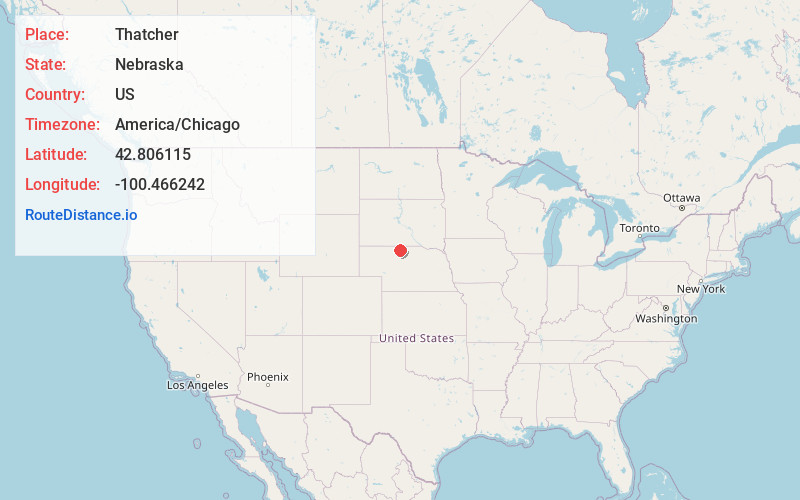
Full AddressThatcher, NE 69201
-
Coordinates42.8061154, -100.4662421
-
LocationThatcher , Nebraska , US
-
TimezoneAmerica/Chicago
-
Current Local Time6:40:30 PM America/ChicagoThursday, June 19, 2025
-
Page Views0
About Thatcher
Thatcher is an unincorporated community. It is located in Cherry County, Nebraska, United States.
Zip code: 69201
Climate: Winter's cold and snowy, summer's hot, and is windy often.
Nearby Places
Found 10 places within 50 miles

Valentine
6.3 mi
10.1 km
Valentine, NE 69201
Get directions

Arabia
7.0 mi
11.3 km
Arabia, NE 69221
Get directions
Wood Lake
16.4 mi
26.4 km
Wood Lake, NE 69221
Get directions
Littleburg
16.5 mi
26.6 km
Littleburg, East Todd, SD 69201
Get directions
Crookston
16.8 mi
27.0 km
Crookston, NE 69212
Get directions
Simeon
18.5 mi
29.8 km
Simeon, Cleveland Precinct, NE 69201
Get directions
Olsonville
23.4 mi
37.7 km
Olsonville, SD 69201
Get directions
Lakeview
25.0 mi
40.2 km
Lakeview, SD 69212
Get directions
Johnstown
26.3 mi
42.3 km
Johnstown, NE 69214
Get directions
Kilgore
26.4 mi
42.5 km
Kilgore, NE 69216
Get directions
Location Links
Local Weather
Weather Information
Coming soon!
Location Map
Static map view of Thatcher, Nebraska
Browse Places by Distance
Places within specific distances from Thatcher
Short Distances
Long Distances
Click any distance to see all places within that range from Thatcher. Distances shown in miles (1 mile ≈ 1.61 kilometers).