Distance to Thatcher, Idaho

Calculating Your Route
Just a moment while we process your request...
Location Information
-
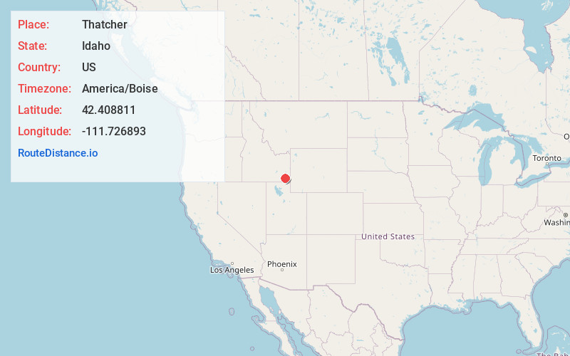
Full AddressThatcher, ID 83283
-
Coordinates42.4088106, -111.726893
-
LocationThatcher , Idaho , US
-
TimezoneAmerica/Boise
-
Current Local Time5:09:15 PM America/BoiseMonday, June 16, 2025
-
Page Views0
About Thatcher
Thatcher is an unincorporated community in Franklin County, Idaho, United States. Its elevation is 4,902 feet, and it is located at 42°24′32″N 111°43′37″W. Although Thatcher is unincorporated, it has a post office, with the ZIP code of 83283; the ZCTA for ZIP Code 83283 had a population of 123 at the 2000 census.

Nearby Places
Found 10 places within 50 miles

Lago
3.3 mi
5.3 km
Lago, ID 83241
Get directions
Mound Valley
3.6 mi
5.8 km
Mound Valley, ID 83283
Get directions
Niter
6.5 mi
10.5 km
Niter, ID 83241
Get directions
China Hill
11.2 mi
18.0 km
China Hill, ID 83241
Get directions

Grace
11.6 mi
18.7 km
Grace, ID 83241
Get directions
Treasureton
11.6 mi
18.7 km
Treasureton, ID 83263
Get directions
Mink Creek
12.5 mi
20.1 km
Mink Creek, ID 83263
Get directions
Sharon
13.3 mi
21.4 km
Sharon, ID 83254
Get directions
Liberty
15.4 mi
24.8 km
Liberty, ID 83254
Get directions

Swanlake
15.5 mi
24.9 km
Swanlake, ID
Get directions
Location Links
Local Weather
Weather Information
Coming soon!
Location Map
Static map view of Thatcher, Idaho
Browse Places by Distance
Places within specific distances from Thatcher
Short Distances
Long Distances
Click any distance to see all places within that range from Thatcher. Distances shown in miles (1 mile ≈ 1.61 kilometers).