Distance to Thaxton, Virginia

Calculating Your Route
Just a moment while we process your request...
Location Information
-
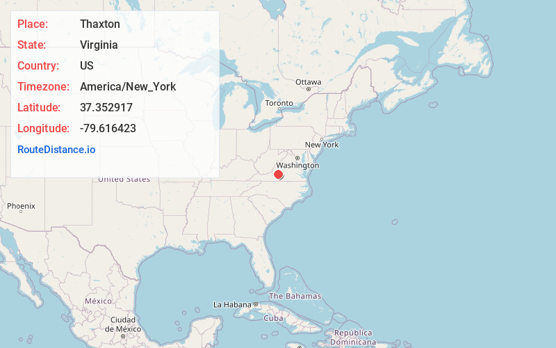
Full AddressThaxton, VA 24174
-
Coordinates37.3529172, -79.6164232
-
LocationThaxton , Virginia , US
-
TimezoneAmerica/New_York
-
Current Local Time4:00:35 AM America/New_YorkFriday, June 6, 2025
-
Page Views0
About Thaxton
Thaxton is an unincorporated community in western Bedford County, Virginia, United States. The community is located along U.S. Route 460 between Bedford and Montvale. It is part of the Lynchburg Metropolitan Statistical Area.


Nearby Places
Found 10 places within 50 miles

Penicks Mill
2.4 mi
3.9 km
Penicks Mill, VA 24523
Get directions

Bedford
5.3 mi
8.5 km
Bedford, VA 24523
Get directions
Peaksville
5.5 mi
8.9 km
Peaksville, VA 24523
Get directions

Montvale
6.7 mi
10.8 km
Montvale, VA
Get directions
Otterville
9.0 mi
14.5 km
Otterville, VA 24523
Get directions

Bearwallow Gap
9.5 mi
15.3 km
Bearwallow Gap, Virginia 24066
Get directions

Blue Ridge
10.6 mi
17.1 km
Blue Ridge, VA
Get directions
Coltons Mill
11.3 mi
18.2 km
Coltons Mill, VA 24523
Get directions

Moneta
11.8 mi
19.0 km
Moneta, VA 24121
Get directions
Chestnut Fork
12.2 mi
19.6 km
Chestnut Fork, VA 24523
Get directions
Location Links
Local Weather
Weather Information
Coming soon!
Location Map
Static map view of Thaxton, Virginia
Browse Places by Distance
Places within specific distances from Thaxton
Short Distances
Long Distances
Click any distance to see all places within that range from Thaxton. Distances shown in miles (1 mile ≈ 1.61 kilometers).