Distance to Thayer, Missouri

Calculating Your Route
Just a moment while we process your request...
Location Information
-
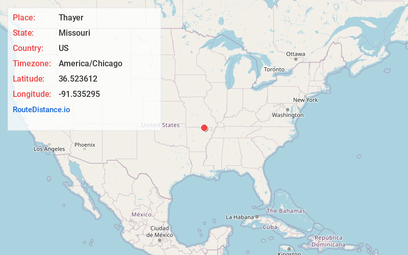
Full AddressThayer, MO 65791
-
Coordinates36.5236123, -91.5352949
-
LocationThayer , Missouri , US
-
TimezoneAmerica/Chicago
-
Current Local Time10:40:15 AM America/ChicagoTuesday, May 20, 2025
-
Page Views0
About Thayer
Thayer is a city in Oregon County, Missouri, United States. The population was 1,883 at the 2020 census. Its original name was Augusta.


Nearby Places
Found 10 places within 50 miles

Cherokee Village
14.9 mi
24.0 km
Cherokee Village, AR
Get directions

Salem
19.1 mi
30.7 km
Salem, AR 72576
Get directions

West Plains
22.6 mi
36.4 km
West Plains, MO 65775
Get directions

Horseshoe Bend
24.5 mi
39.4 km
Horseshoe Bend, AR
Get directions

Mountain View
33.9 mi
54.6 km
Mountain View, MO 65548
Get directions

Pocahontas
36.1 mi
58.1 km
Pocahontas, AR 72455
Get directions

Melbourne
38.2 mi
61.5 km
Melbourne, AR 72556
Get directions

Willow Springs
40.3 mi
64.9 km
Willow Springs, MO 65793
Get directions

Walnut Ridge
45.1 mi
72.6 km
Walnut Ridge, AR
Get directions

Hoxie
45.2 mi
72.7 km
Hoxie, AR
Get directions
Location Links
Local Weather
Weather Information
Coming soon!
Location Map
Static map view of Thayer, Missouri
Browse Places by Distance
Places within specific distances from Thayer
Short Distances
Long Distances
Click any distance to see all places within that range from Thayer. Distances shown in miles (1 mile ≈ 1.61 kilometers).