Distance to The Bottle, Alabama

Calculating Your Route
Just a moment while we process your request...
Location Information
-
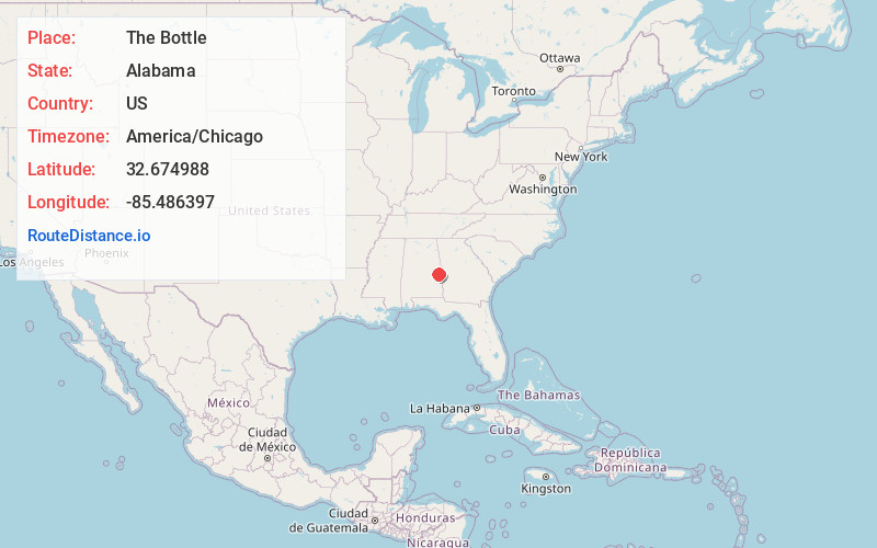
Full AddressThe Bottle, AL 36830
-
Coordinates32.674988, -85.486397
-
LocationThe Bottle , Alabama , US
-
TimezoneAmerica/Chicago
-
Current Local Time6:27:09 PM America/ChicagoWednesday, June 18, 2025
-
Page Views0
About The Bottle
The Bottle is a community located in the northern corporate limits of Auburn, Alabama, United States. The Bottle is located at the intersection of U.S. Highway 280 and Alabama Highway 147, five miles north of downtown Auburn, and adjacent to the Auburn University North Fisheries Research Complex.
Nearby Places
Found 10 places within 50 miles

Farmville
0.7 mi
1.1 km
Farmville, AL 36830
Get directions
Ridge Grove
2.2 mi
3.5 km
Ridge Grove, Auburn, AL 36879
Get directions
Stonewall
2.2 mi
3.5 km
Stonewall, AL 36801
Get directions
North Auburn
2.5 mi
4.0 km
North Auburn, Opelika, AL 36830
Get directions
Gold Hill
3.5 mi
5.6 km
Gold Hill, Auburn, AL 36879
Get directions

Auburn
4.6 mi
7.4 km
Auburn, AL
Get directions
Rowells Crossroads
5.3 mi
8.5 km
Rowells Crossroads, AL 36879
Get directions
James
5.5 mi
8.9 km
James, AL 36879
Get directions

Opelika
6.6 mi
10.6 km
Opelika, AL
Get directions
Jones Mill
6.7 mi
10.8 km
Jones Mill, AL 36879
Get directions
Location Links
Local Weather
Weather Information
Coming soon!
Location Map
Static map view of The Bottle, Alabama
Browse Places by Distance
Places within specific distances from The Bottle
Short Distances
Long Distances
Click any distance to see all places within that range from The Bottle. Distances shown in miles (1 mile ≈ 1.61 kilometers).