Distance to The Cross Roads, Virginia

Calculating Your Route
Just a moment while we process your request...
Location Information
-
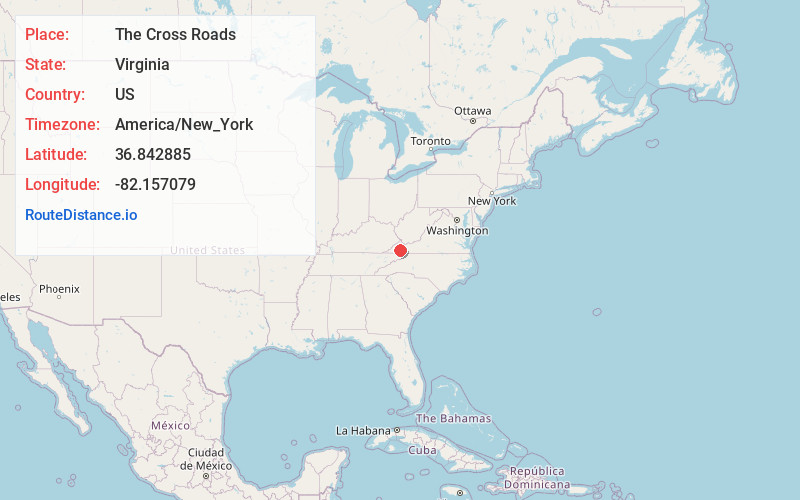
Full AddressThe Cross Roads, VA 24266
-
Coordinates36.8428847, -82.157079
-
LocationVirginia , US
-
TimezoneAmerica/New_York
-
Current Local Time8:37:50 PM America/New_YorkThursday, June 19, 2025
-
Page Views0
Nearby Places
Found 10 places within 50 miles

Creswell
3.2 mi
5.1 km
Creswell, VA 24224
Get directions
Bolton
3.5 mi
5.6 km
Bolton, VA 24266
Get directions
Dickensonville
3.8 mi
6.1 km
Dickensonville, VA 24224
Get directions
Parsonage
5.0 mi
8.0 km
Parsonage, VA 24224
Get directions
Roebuck
5.3 mi
8.5 km
Roebuck, VA 24210
Get directions

Lebanon
5.8 mi
9.3 km
Lebanon, VA 24266
Get directions
Carterton
6.0 mi
9.7 km
Carterton, VA 24266
Get directions
Alum Wells
6.1 mi
9.8 km
Alum Wells, VA 24202
Get directions
Carbo
6.3 mi
10.1 km
Carbo, VA 24225
Get directions
Zenobia
6.9 mi
11.1 km
Zenobia, VA 24270
Get directions
Location Links
Local Weather
Weather Information
Coming soon!
Location Map
Static map view of The Cross Roads, Virginia
Browse Places by Distance
Places within specific distances from The Cross Roads
Short Distances
Long Distances
Click any distance to see all places within that range from The Cross Roads. Distances shown in miles (1 mile ≈ 1.61 kilometers).